| Graham’s Walks | 📌 |
|---|---|
| Distance | 5.7 miles/9.2 km |
| Elevation | 1283 ft/391 m |
| Difficulty | Moderate |
| Map | 🗺️ |
| GPX | 📁 |
| Graham’s Cafe | Not on this one |
| Classification | None |
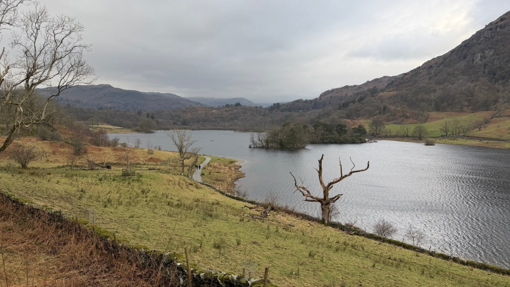
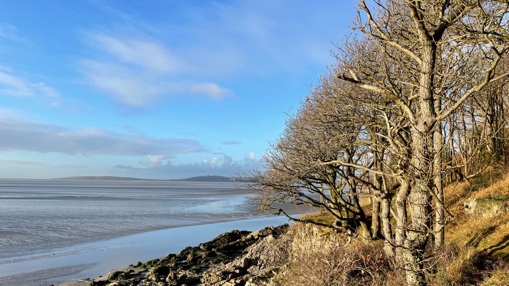
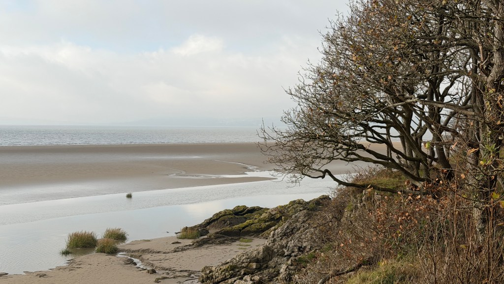
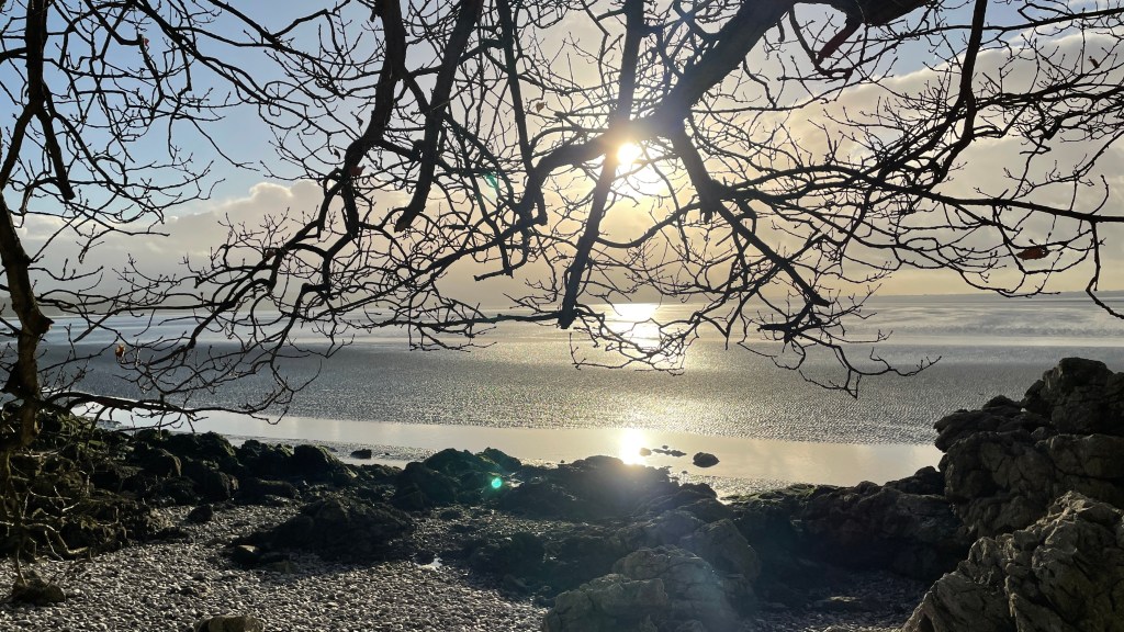
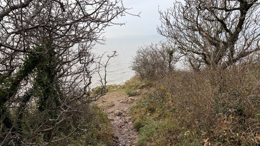
The Area
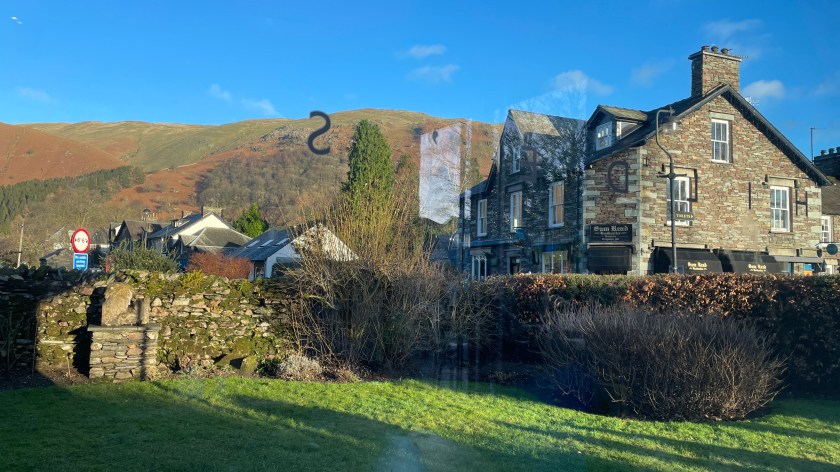
I have a theory that many areas of the UK have places that are deliberately named to help identify outsiders. They like to do this by having a name that is pronounced differently to how they are spelled. This walk starts near to the wonderfully named Quernmore which is one of those places; if you want to reveal yourself as a visitor you will assume that this place is pronounced quern-more, whereas everyone local calls it kwor-mer.
Clougha Pike sits within the Forest of Bowland. When I was studying for my degree a fellow student from the south of England came in and said something to the effect of “We went to the Forest of Bowland at the weekend, but couldn’t find the trees, there weren’t any.” They were right, they hadn’t missed something, there aren’t many tree. Today we mostly associate the term forest with trees as the word has shifted meaning over time. A “foresta” is a Middle Ages term for a piece of land that is set aside for a King or a high ranking noble for hunting. This status that continues in the area with much of it being owned by the Duchy of Lancaster (the King) and the Duke of Westminster. The Forest of Bowland never had that many trees it’s always been too boggy.
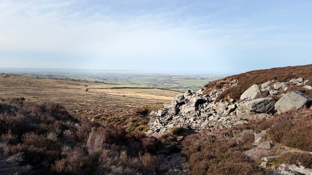
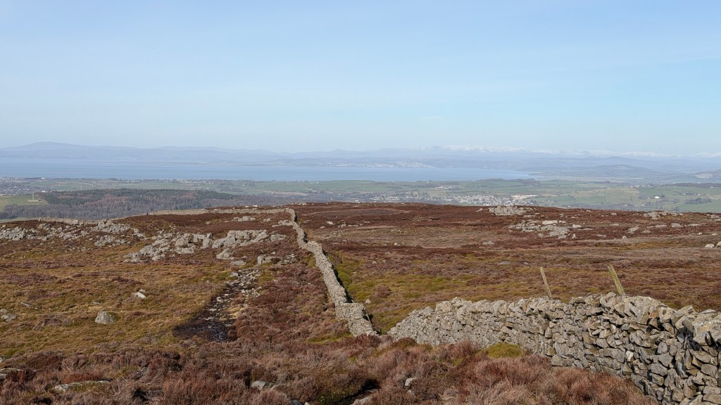
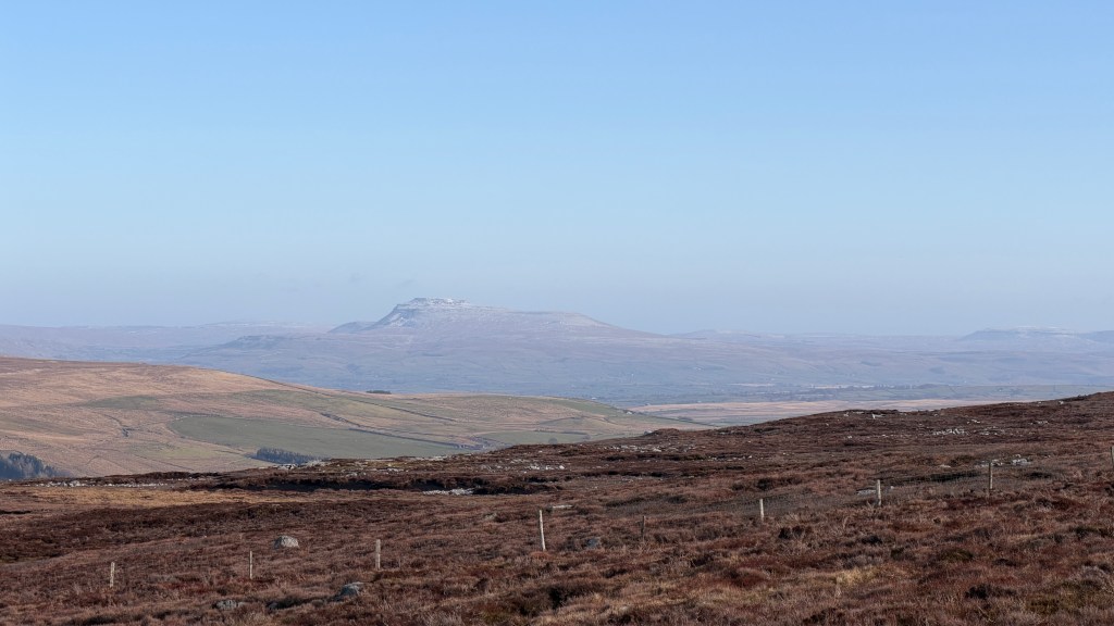
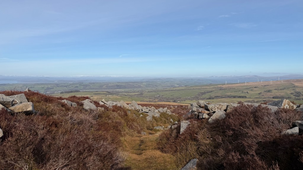
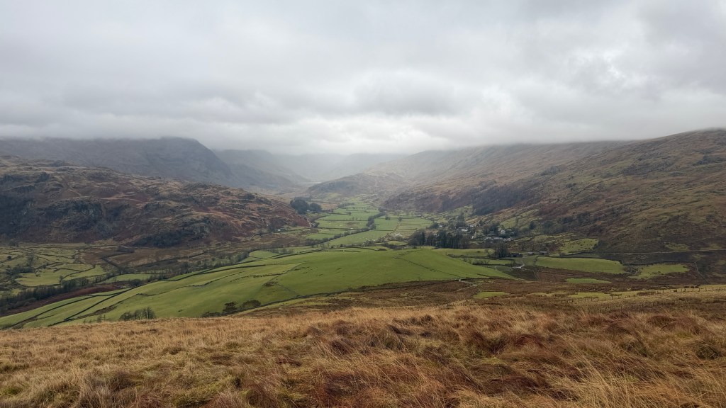
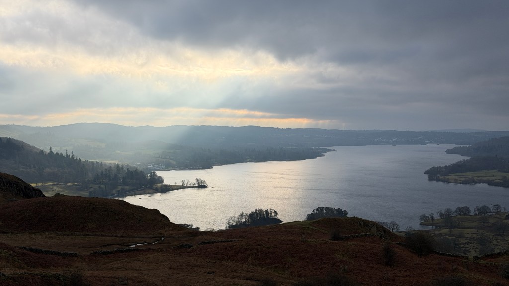
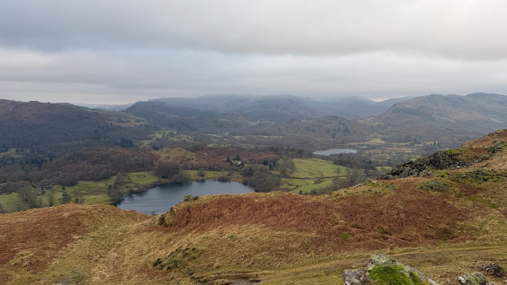
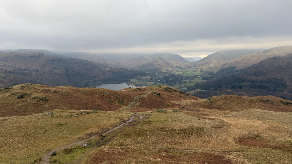
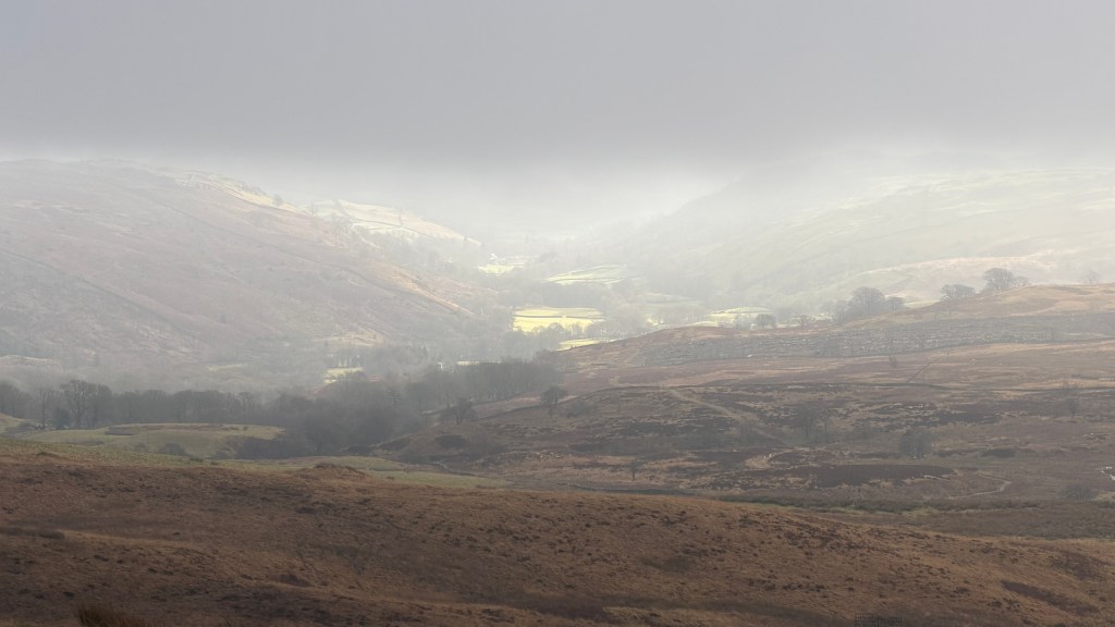
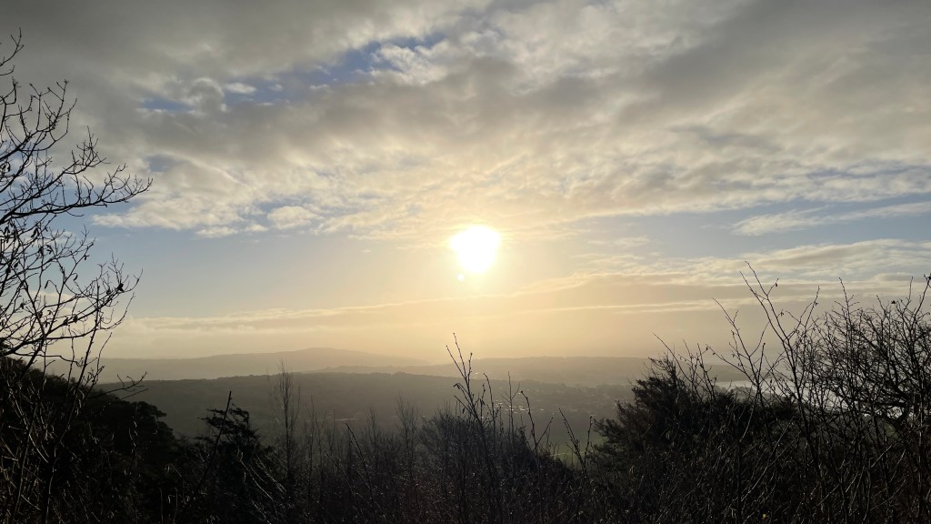
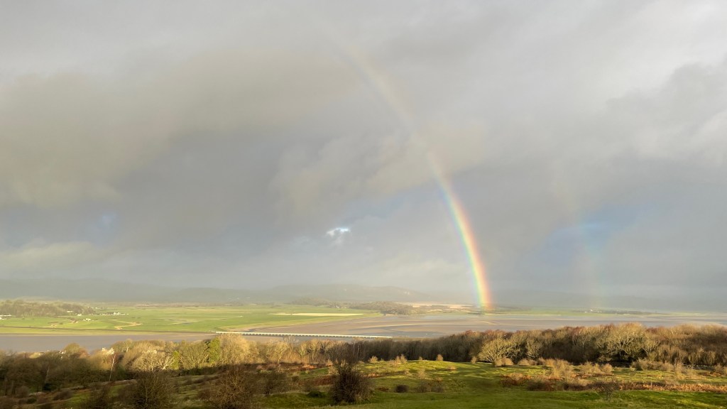
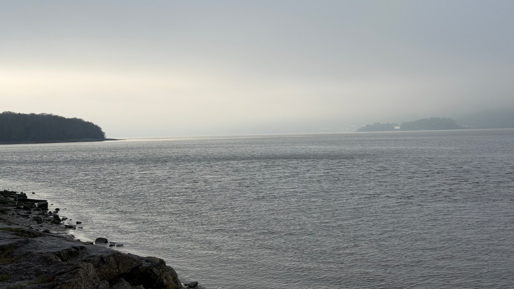
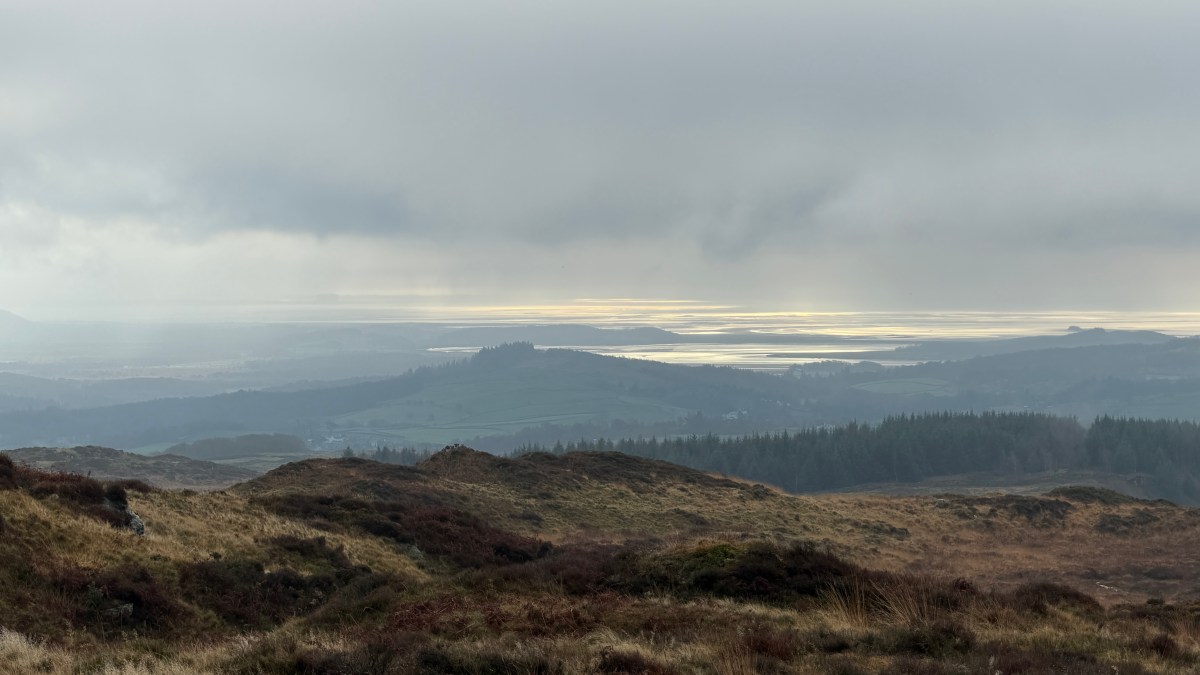
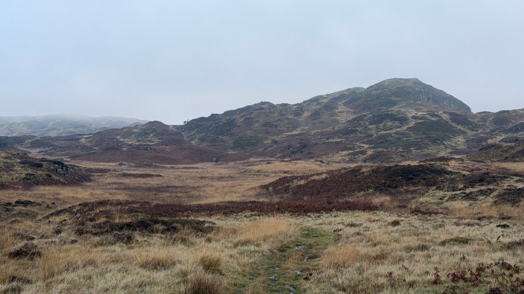
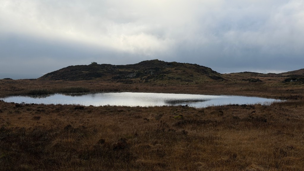
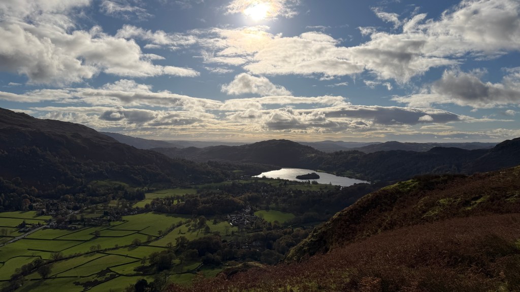
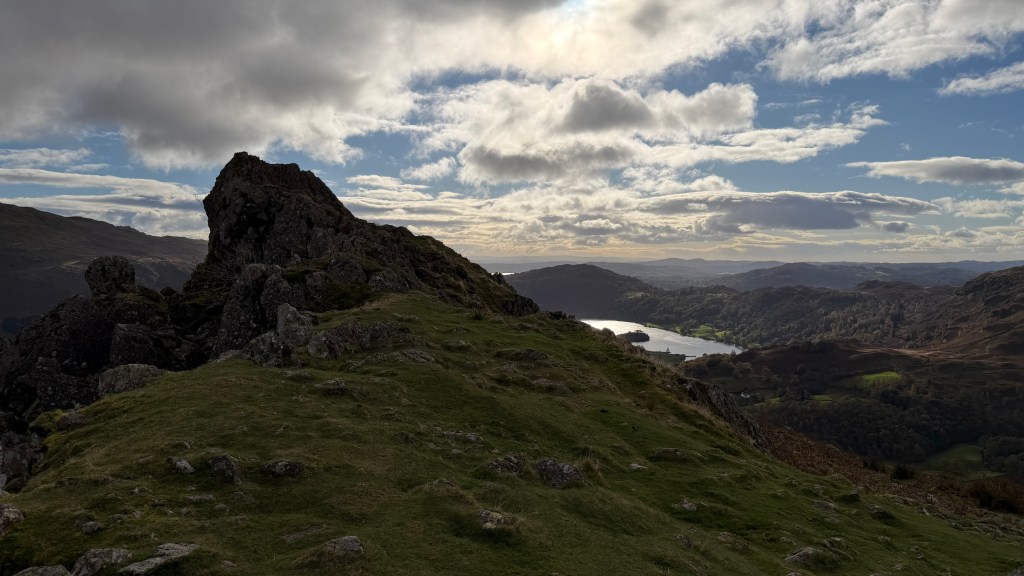
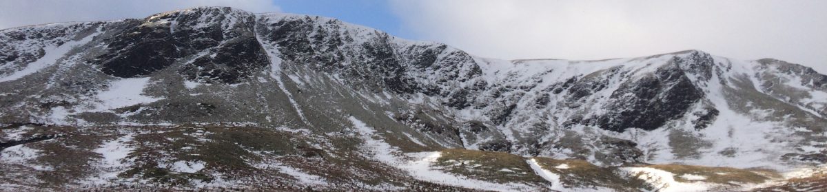
Clougha isn’t the highest point within the forest, but it does give some impressive views in every direction. On a good day it’s possible to see north to the Lake District Fells and south to North Wales. To the east the peaks of the Yorkshire Dales stand majestic and to the west are the lowlands of Lancashire and on a really good day views of the Isle of Man beyond Barrow-in-Furness.
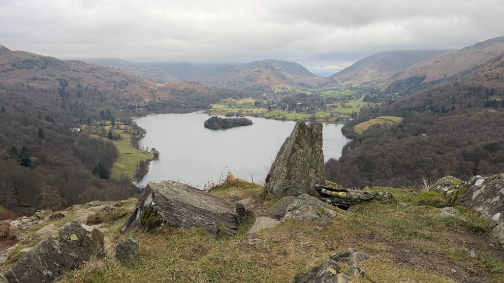
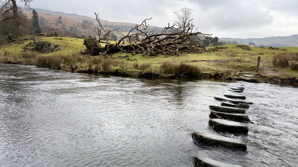
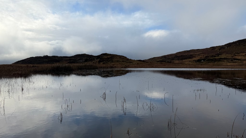
The name Clougha hints at the rock formations within the grit stone on the walk; a clough is a gorge or narrow ravine of which there are several with some wonderfully named on the maps – Windy Clough, Little Windy Clough, Foxes Clough and on some maps Otter Geer Clough (confusingly also shown as Oter Geer and Ottergear).
There is more information on the local history here: Forest of Bowland: History, Culture & Heritage.
The Walk
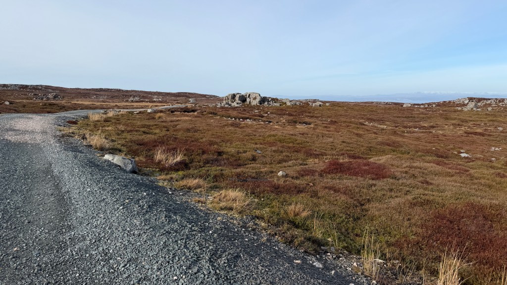
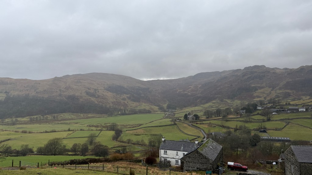
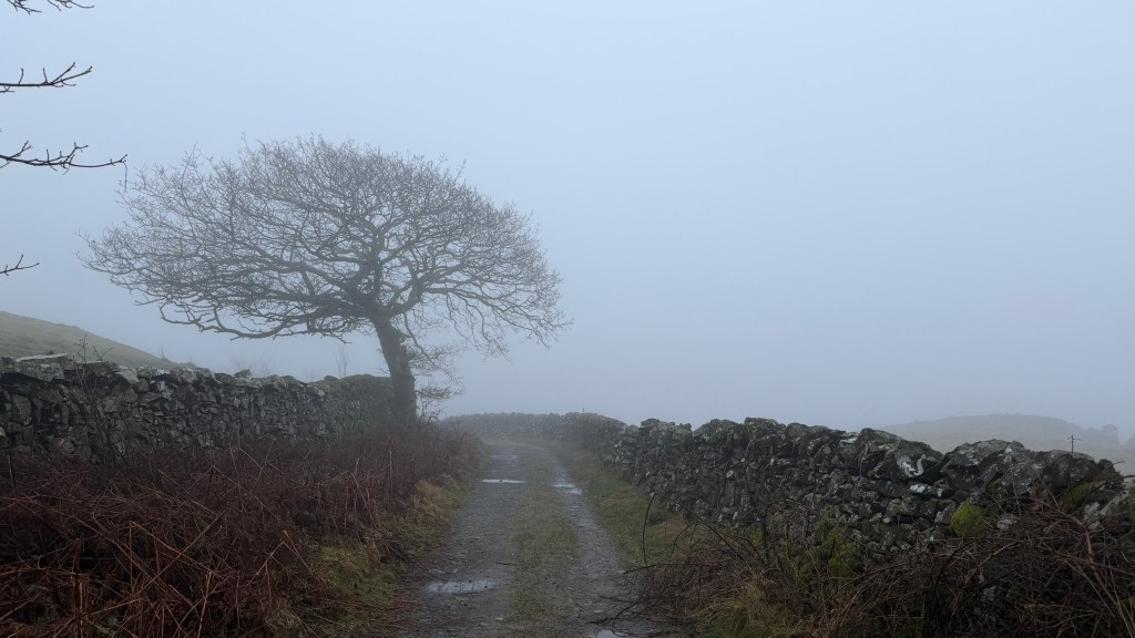
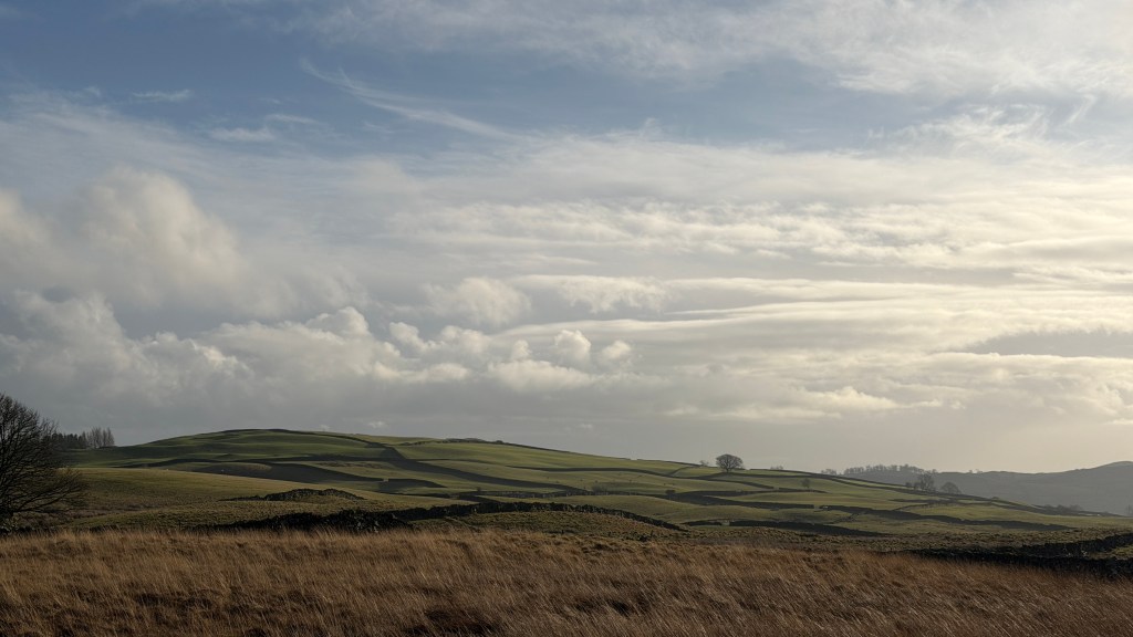
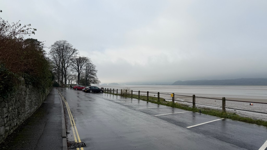
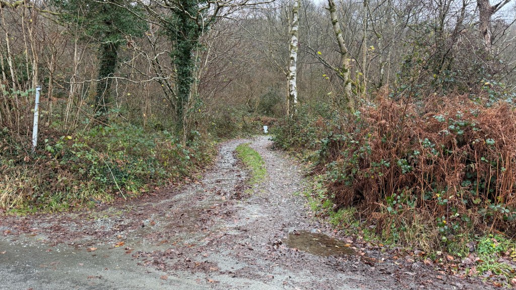
This walk starts from Rigg Lane car park which is here on Google Maps, grid reference: SD 526 604. This is also known as Birk Bank car park describing the geological feature to the rear.
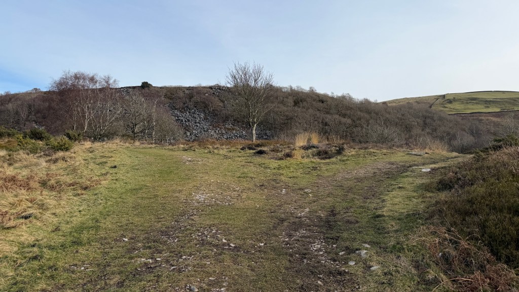
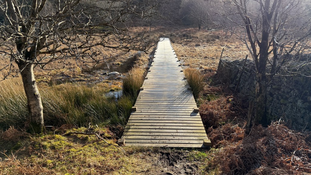
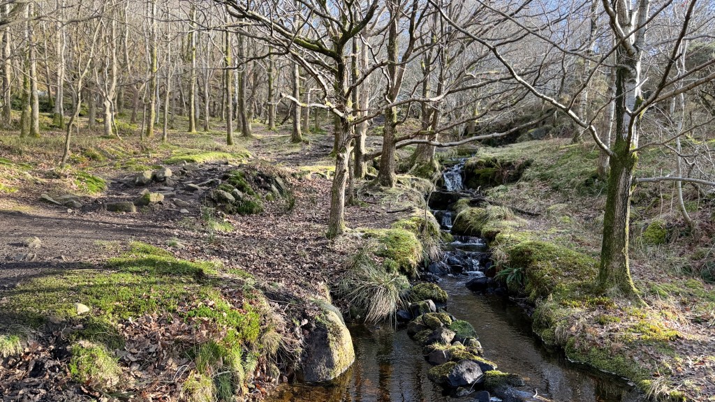
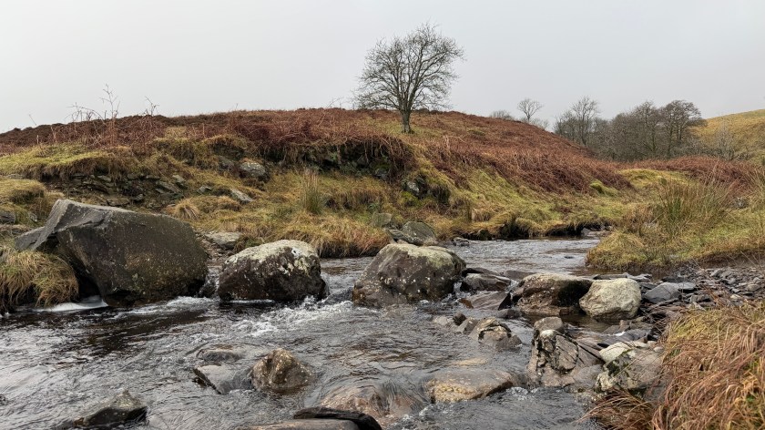
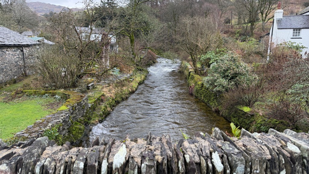
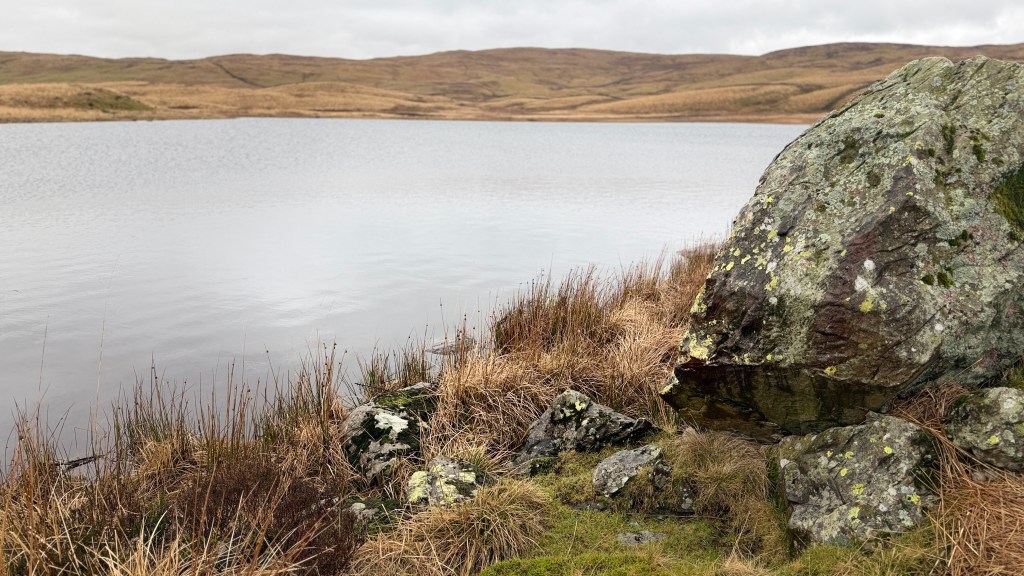
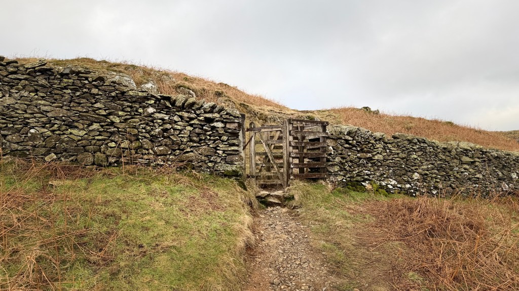
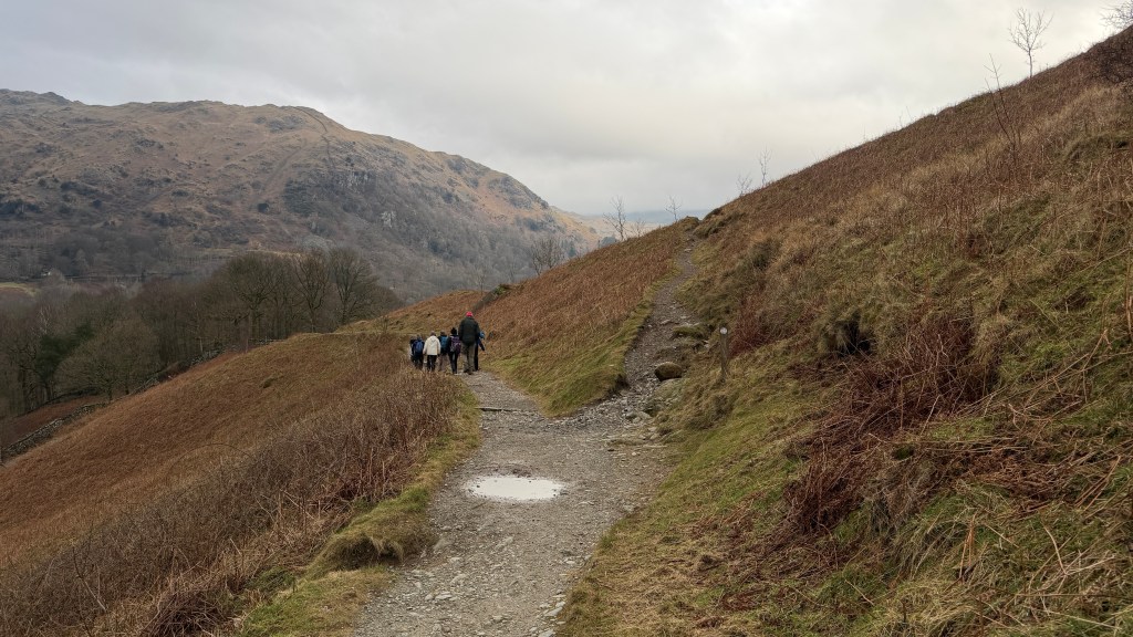
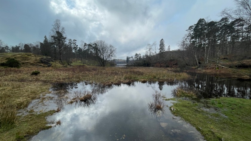
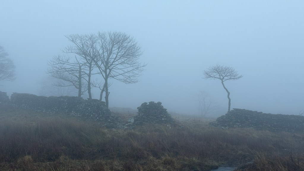
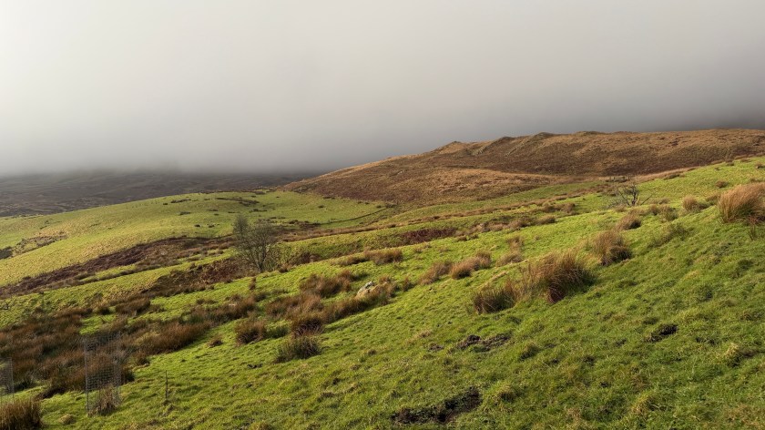
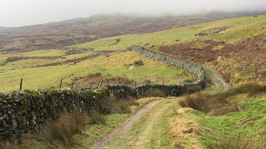
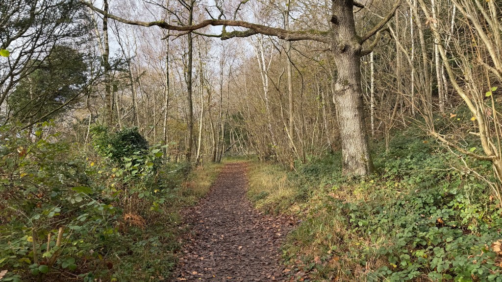
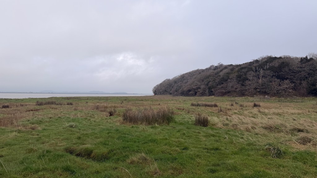
The path leads from a gate at the back of the car park up over a small hill and then keeping to the right down towards a boggy area. There is a duckboardss path across the boggy bit, fortunately. The duckboard has been replaced in recent years and follows a slightly different route to the one shown on most of the maps. Again keeping to the right head towards the wall and a stream which you will follow up through a wooded area with Birk Bank own your left and into our first clough.
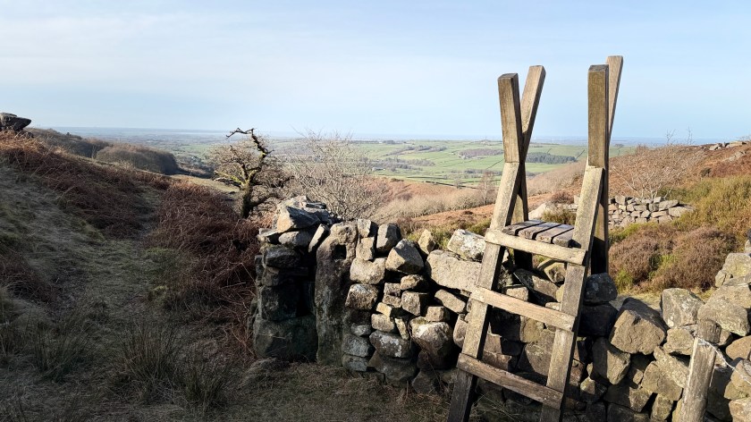
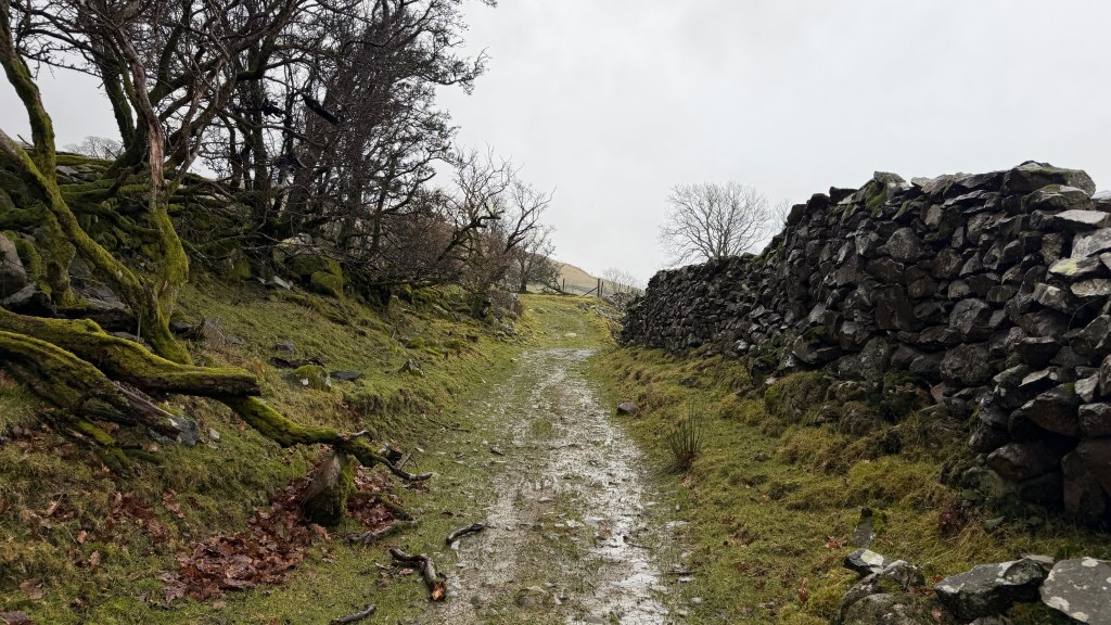
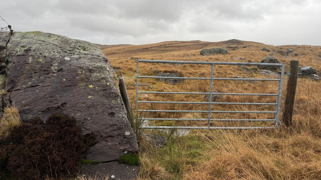
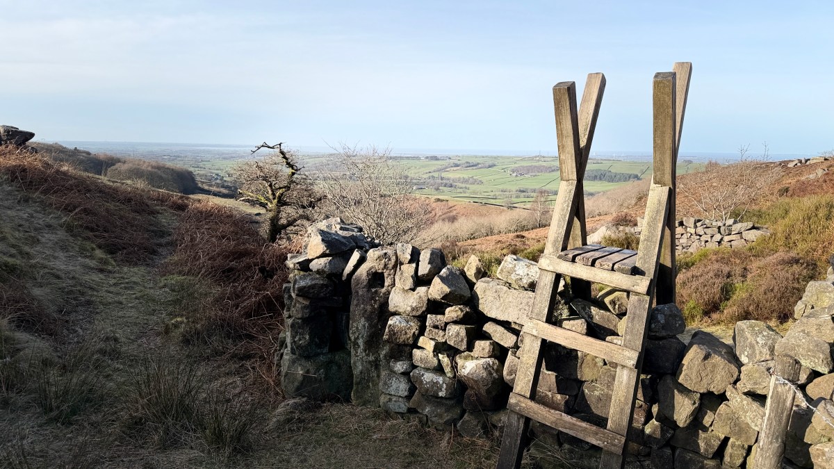
You will reach an intersection of several dry stone walls and a pair of high-stiles. Take the one to the right and continue to follow the path uphill with the wall on your left. The path follows the wall as it turns right and then left, then through the wall (I think via a gate) from where you will see a clear route up to the top.
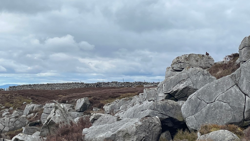
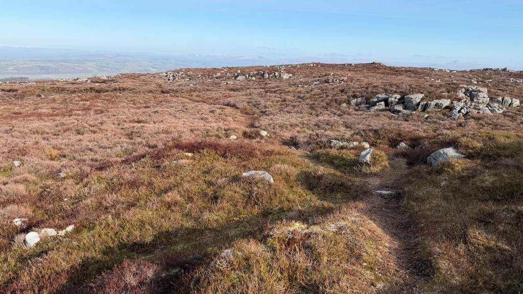
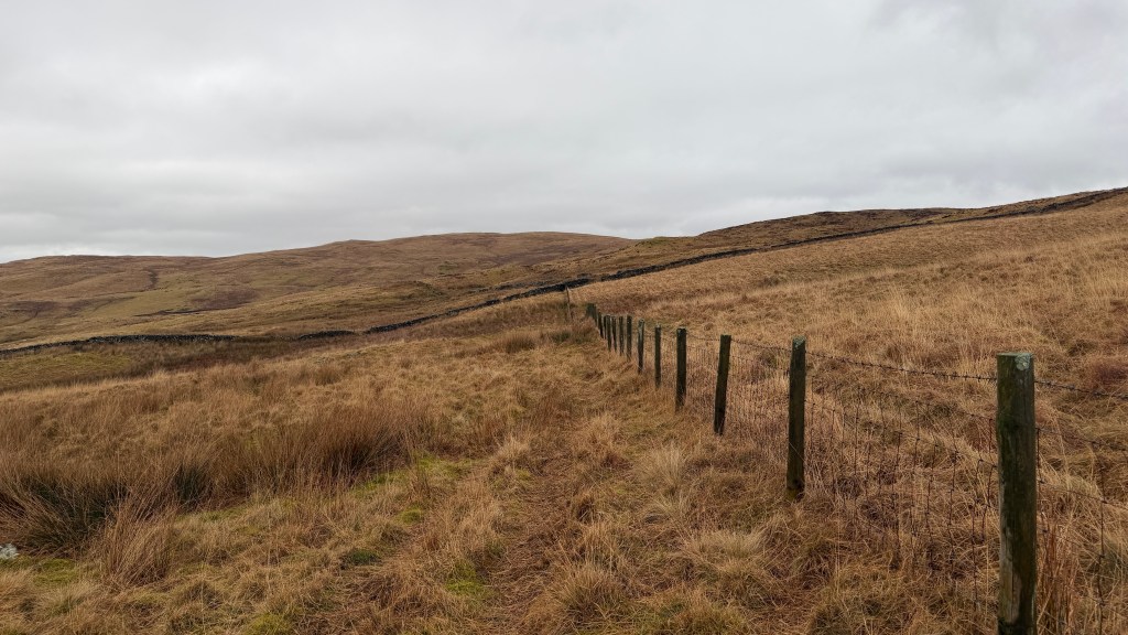
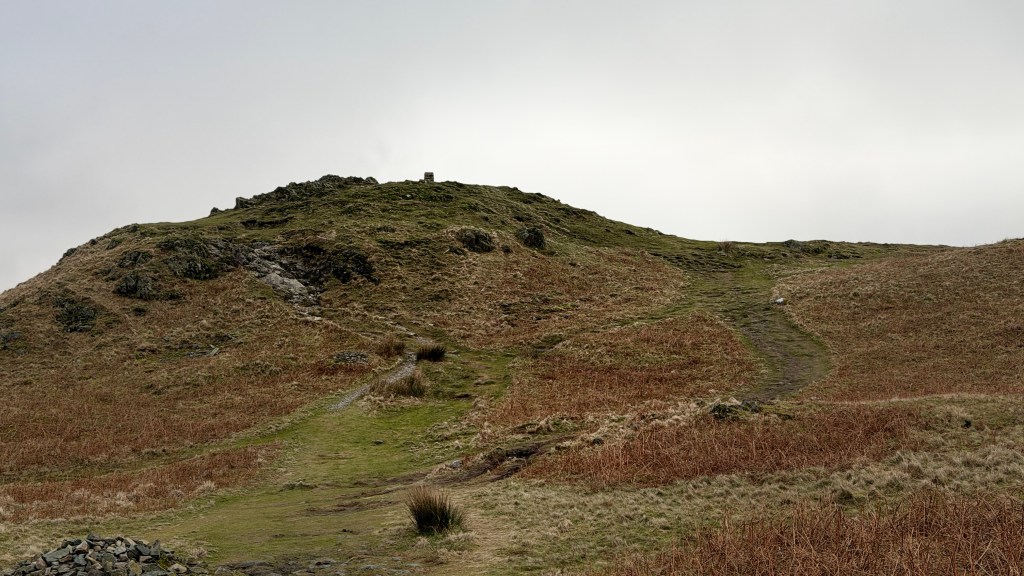
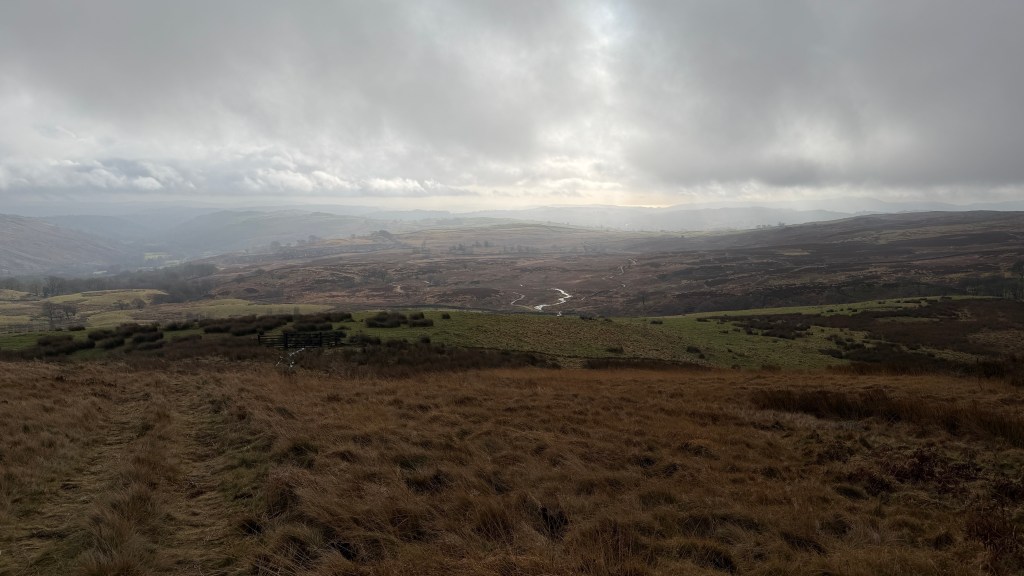
From this point on the path is quite bouldery with muddy areas between. Thankfully, being grit stone none of the stones are smooth or slippery. The path again follows a wall for most of the rest of the route to the top. If you haven’t already, this is the area where you are likely to get your first encounter of a Red Grouse, even if you haven’t seen them you are likely to have heard them.
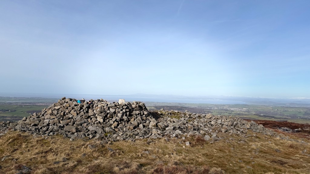
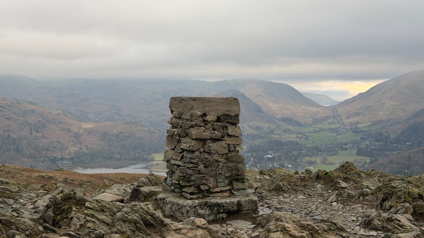
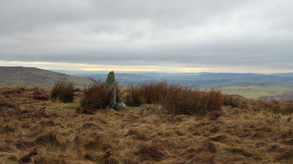
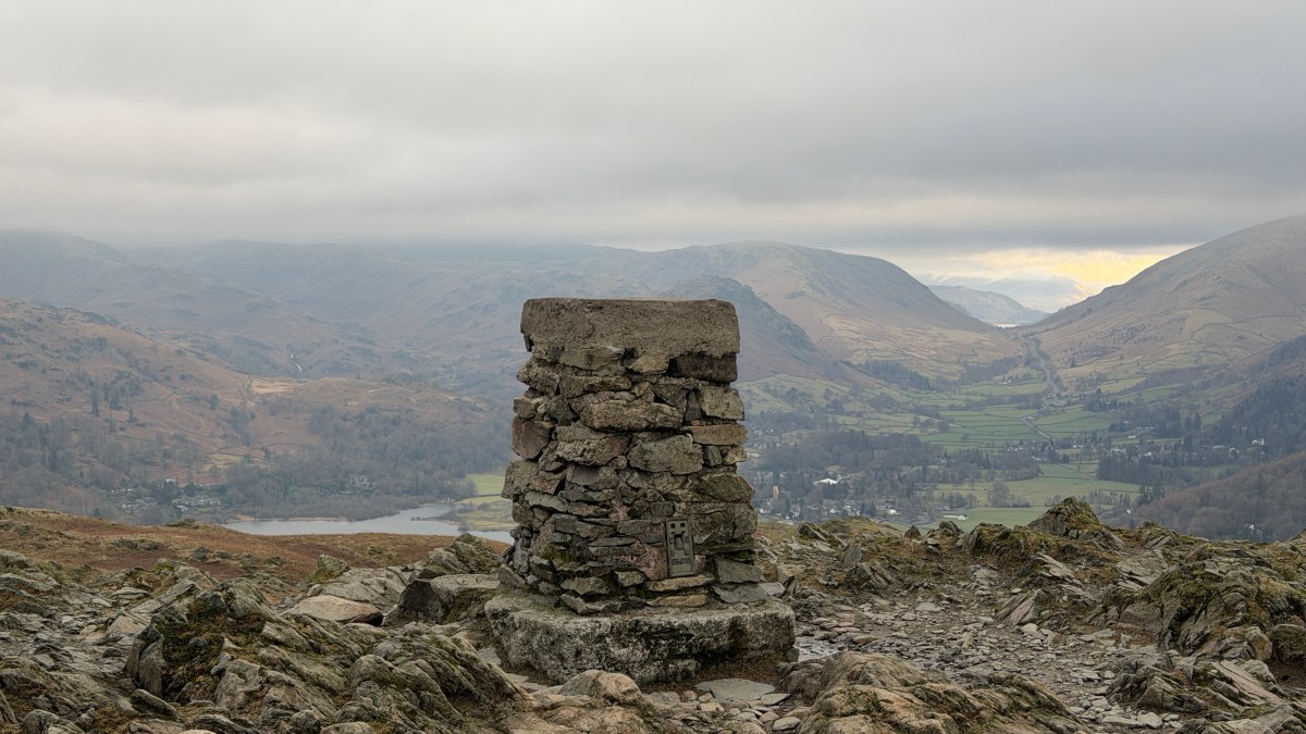
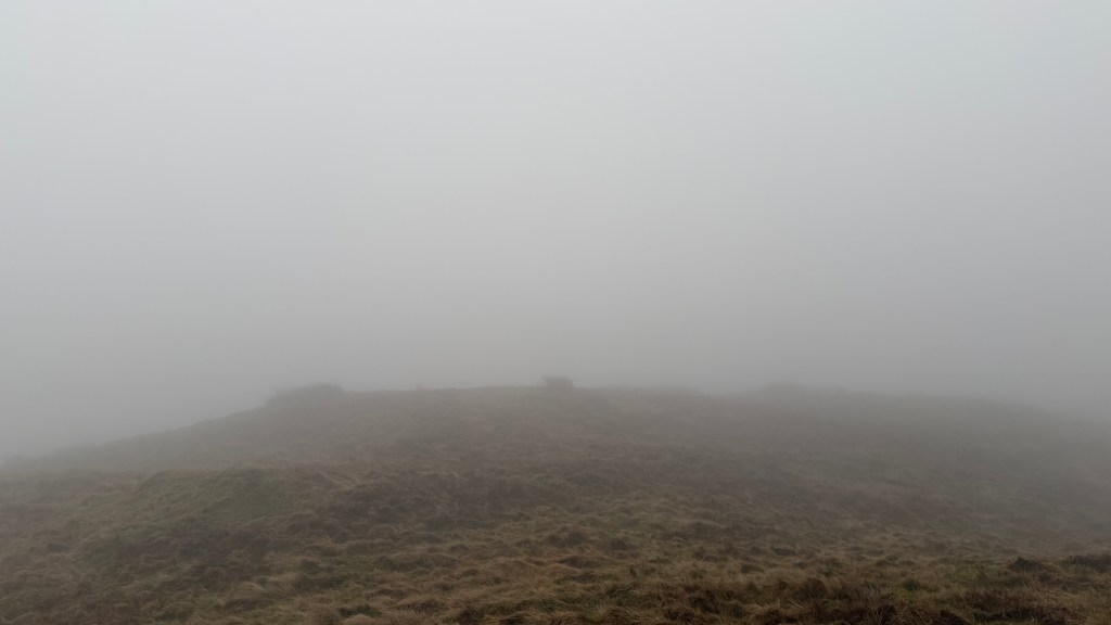
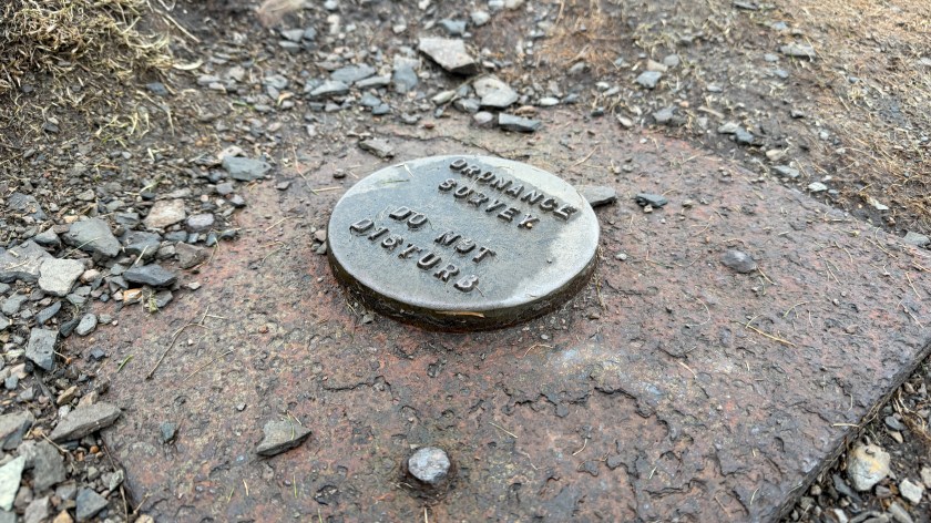
The top is marked by trig-point and a dry-stone wind shelter which is a great place to stop and take in the view.
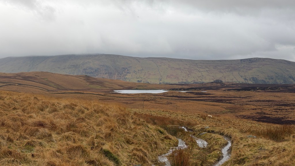
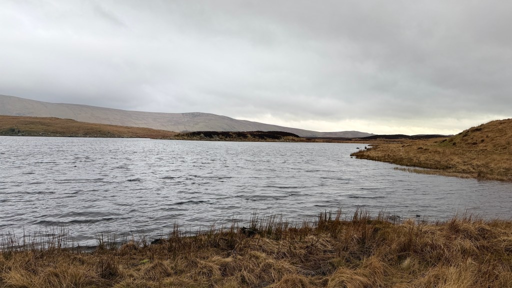
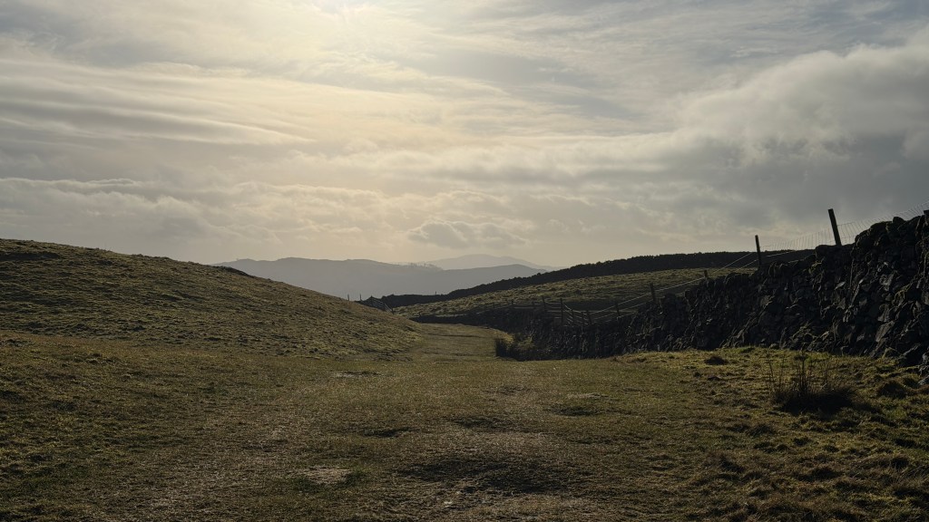
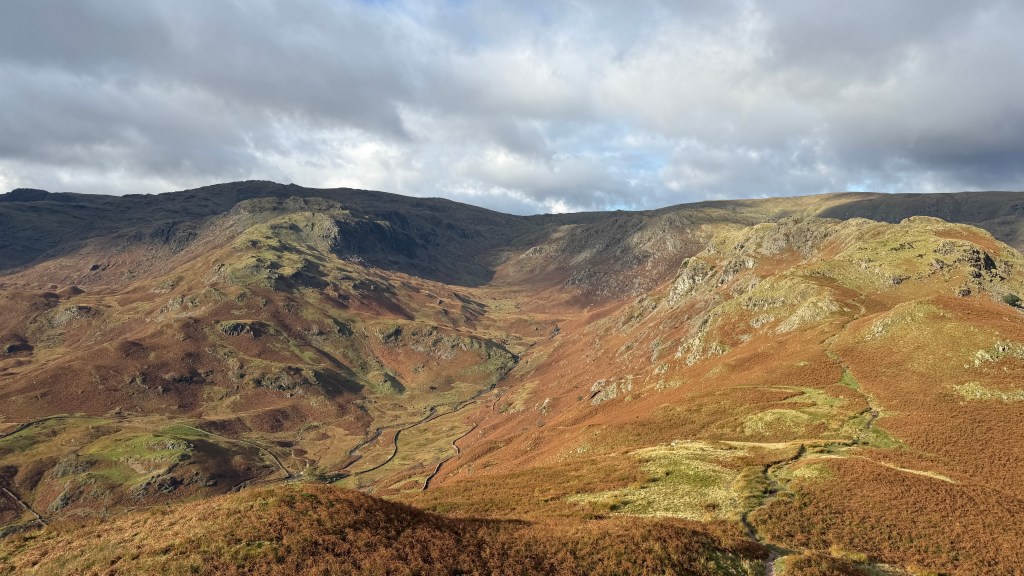
From the top head east towards the area marked on the map as Foxes Clough. After a short while you’ll head over a small stile from where you may notice a subtle change in the landscape. From this point, and for most of the rest of the walk, our route takes us across a managed grouse moor which is part of the Abbeystead Estate owned by the Duke of Westminster. Access to areas of this moorland may be restricted during the grouse shooting season which runs from 12th August to 10th December, it may also be restricted if there is a high risk of fires.
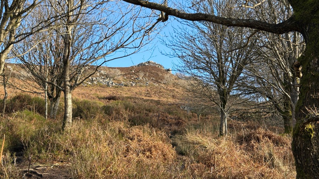
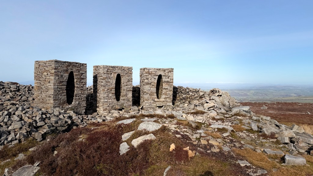
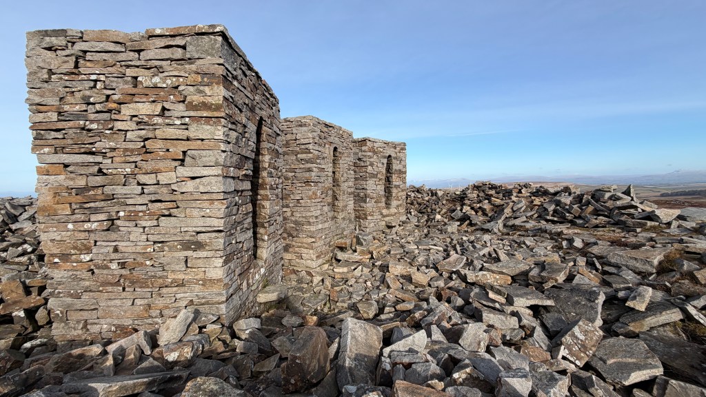
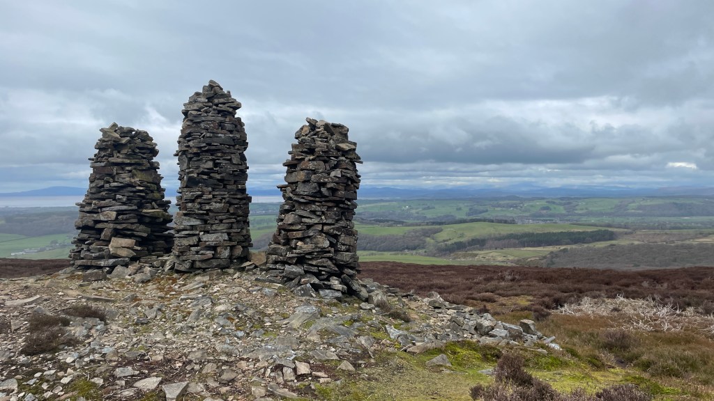
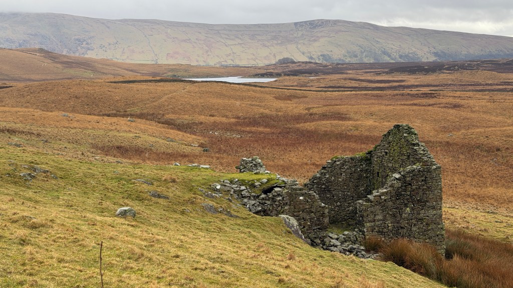
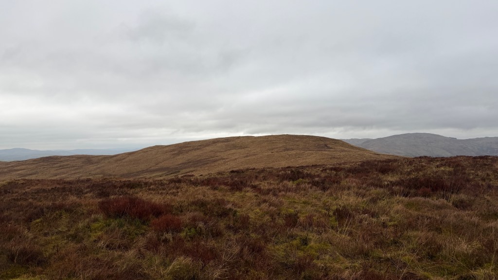
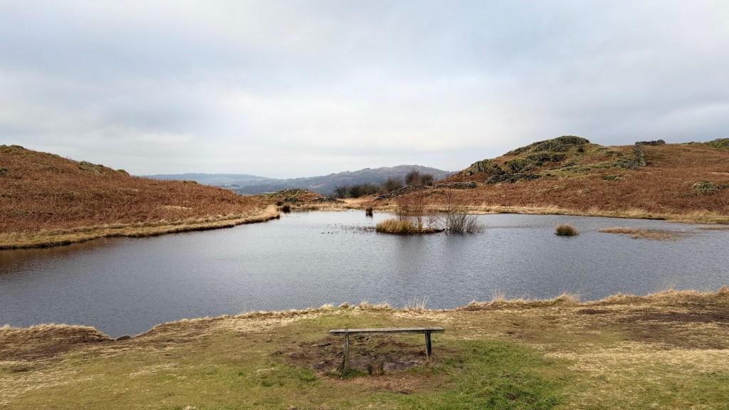
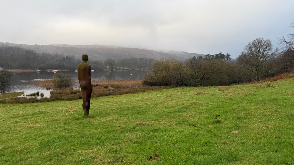
The path eastward heads towards the summit of Grit Fell, this is a great extension to this walk. We are going to follow this path for a while and then take a path off towards the left which works us across to an area marked as Quarries (dis) on the map. This disused quarry is the home of the Three Chambers, or Clougha Pike Chambers, an installation by Andy Goldworthy.
From the chambers head over to the gravel track heading left along the track.
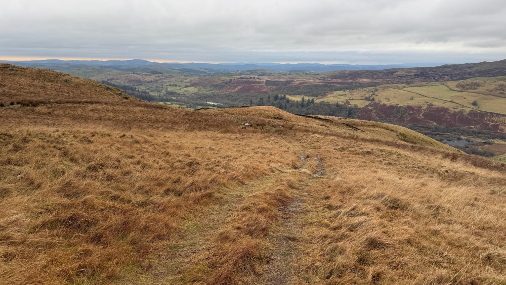
The track curves to the left and then to the right up towards a plough of rocks on the right alongside which you will see a path to the right. This path is visible, but you do need to look for it. You follow this path across moorland downward and curving leftward. The path eventually works its way alongside a stream in a small valley, zig-zagging its way down towards a wall marking the edge of the moorland.
Turn left across the stream and either alongside the wall or up onto the ridge that overlooks the wall; both routes come out on another path with a wood on the right. This will bring you back onto the gravel track which will take you down another small valley and to the right over a high stile.
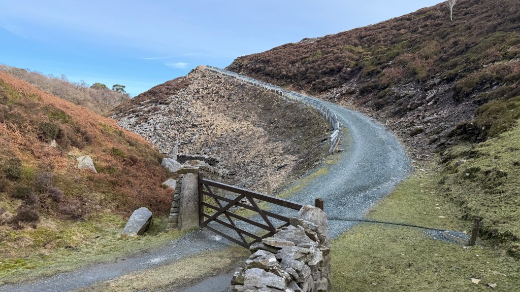
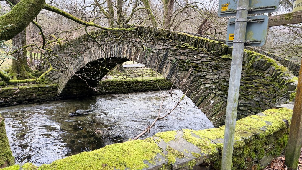
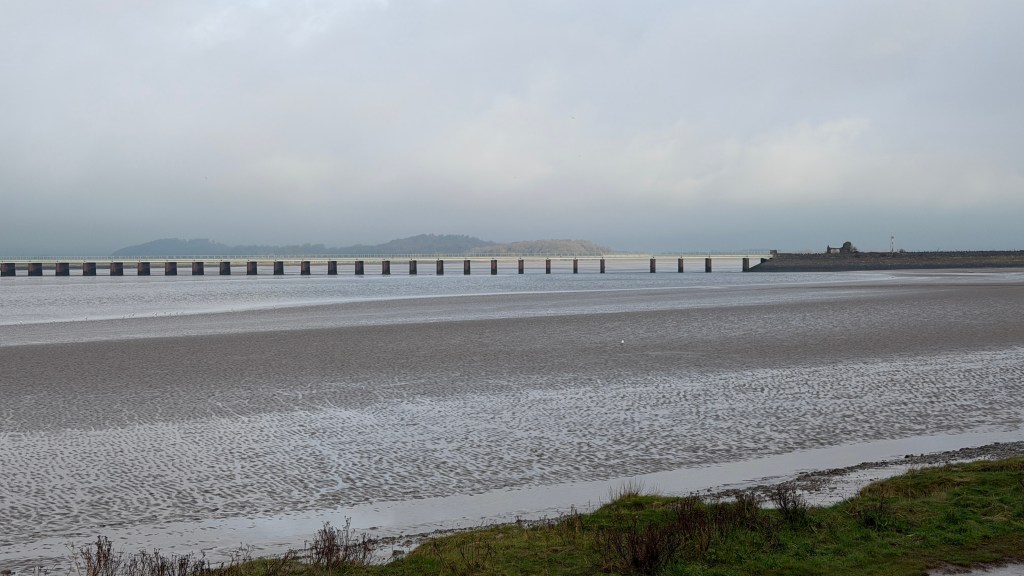
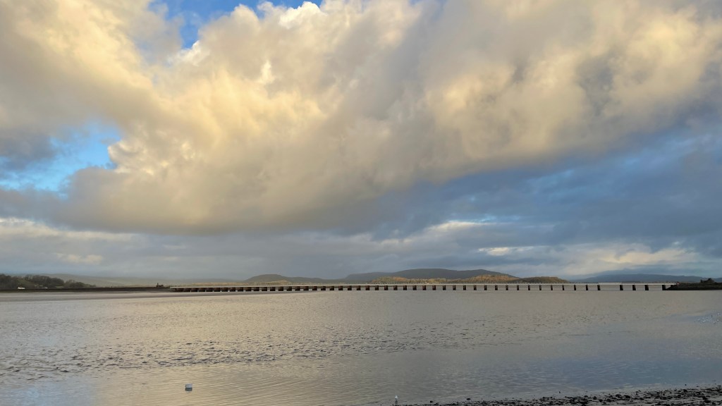
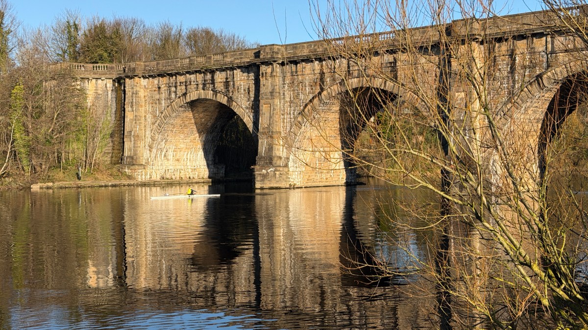
Before the gravel road heads out of the moorland there is a track to the left which will take you to a bridge across a valley, the Ottergear Bridge. The primary purpose of this construction though is as an aqueduct; it’s carrying water from Thirlmere in the Lake District to Manchester a 96-mile journey.
Having crossed Ottergear Bridge the path works its way around the base of Birk Bank to the path just above the duckboards; take a right hand turn down to the car park.
Alternatives and Extensions
The most obvious extension to this one is to carry on the Grit Fell from the top of Clougha Pike. This looks fine on the map, I’ve never done it but I have seen several people say that it’s very boggy.
You can reach the top of Clougha and Grit Fell from Jubilee Tower, this would get you to the top but it wouldn’t make sense to continue on the circular aspects of it. Several people also highlight that this can be very boggy.
You could shorten the route by staying on the gravel track all the way from the Chambers to near Ottergear Bridge and then around.
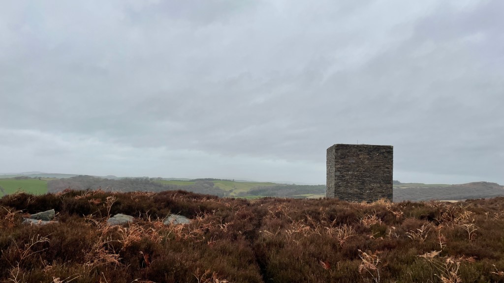
Beyond Ottergear Bridge there is a large brick built structure part way up the hillside. I think that this is still part of the aqueduct works. There’s a path up to this structure from where there are some more good views. From here you can choose to work down to the car park, or you can continue along to the top of Birk Bank until you reach the stream and wall at the beginning of the walk and then back along the duckboards.
I think I’ve walked a different route every time I’ve done this walk.