
| Graham’s Walks | 📌 |
|---|---|
| Distance | 5.3 miles |
| Difficulty | Moderate |
| Map | 🗺️ |
| GPX | 📁 |
| Graham’s Cafe | Sandpipers (at the start/end of the walk on Arnside promenade) The Wolf Cafe (short drive away in Silverdale) |
The Area
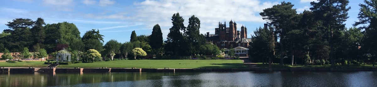
The village of Arnside sits on the side of the Kent Estuary with glorious views of the southern Lake District fells. The views extend even further from the top of the relatively small Knott which we will ascend on this route. The Kent has its source in Kentmere in the southern Lake District and makes its way down through Staveley and Kendal (a derivation of Kent Dale) and past Levens through the Deer Park. It then makes its way through the varied landscape of the Kent Estuary and into Morecambe Bay.
Arnside is mostly a product of the railway. Prior to the arrival of the train, it was a small fishing village; the Furness line turned it into a fashionable place for the Victorians to visit for recuperations and health retreats. Its development stayed small without a large hotel or theatres which helped it avoid much of the impact caused by the switch to foreign holidays.
We start this walk from the shorefront in Arnside from where you will notice the Arnside Viaduct which was built in the 1850s. It’s still the only crossing of the estuary and when it was opened made a huge difference to the travel times to and from Barrow and beyond. There are plans to widen the viaduct for cycling and walking with a funded feasibility study being undertaken in 2023, there doesn’t appear to have been much activity since then though.
The views on this walk are dominated on one side by the huge expanse of Morecambe Bay which is “largest intertidal area in the whole of the UK“. Its huge expanse has meant that people have often braved the perils that lurk there to save on the long journey going around. As you look out on the view imagine that people used to ride stagecoaches across the sands and that Romans and Monks once walked this route.
As another short aside, while currently part of Cumbria, much of land on the other side of the bay from Arnside was historically part of Lancashire.
There is lots of good walking from Arnside, but please note, the Kent Estuary is not suitable for swimming.
The name Arnside is widely understood to come from a Norse heritage meaning Eagle (arn) Headland (side). The nearby RSPB Leighton Moss is frequented by several raptors, Foulshaw Moss on the other side of the Kent is a nesting please for Osprey and Warton Crag to the south has resident Peregrin Falcons; but I’ve never seen anything more than a Buzzard around Arnside. Knott is also a Norse word meaning rocky hill.
The Knott is one of several limestone crags along this area of coastline most of which have been used as quarries at one time but now are mostly open for walking and looked after by different organisations. Arnside Knott is owned by the National Trust who provide a small car park on the Knott itself.
The Walk
We start this walk from the village of Arnside parking on the shoreline. There’s normally ample parking on the promenade road, but there’s also the option of Arnside beach Car Park.
Depending on where you parked there are several options for getting to the top of the Knott. The easiest to navigate is to follow the main road out of Arnside towards Silverdale, called Silverdale Road. Turn right onto Red Hills Road and then take a left up onto High Knott Road heading left as it reaches a T-junction. The OS Maps route that I’ve made available shows a route that cuts through to Red Hills Road from the shoreline near to the Arnside Beach Hut cafe.
From High Knott Road take a right through the woods and up the hill to the top of the Knott.
The woods will give way to a field. At the other side of the field, you pass through a gate into open limestone thickets to the top. This is limestone which can be slippery when wet.
Make sure you take some time to enjoy the views on your way up. From the tops of the Knott you can see across the Cumbrian Fells, across into the Yorkshire Dales and along the Lancashire coastline.
If you are someone who likes to bag a trig-point you’ll find one hidden in the middle of a thicket to the left of the main path. Although it marks the top the trig-point isn’t where the best views are. From the trig-point work your way back to the path that you left which you can either do by retracing your route, or by taking the path that’s shown on the map.
The main path will take you past several open viewing areas; some with seating. The path will also take you downhill eventually reaching a fork. At the fork take the left-hand option which will take you down to a gate into Hollins Farm. If you miss the fork carry on down until you reach a wall where you can take the path on the left to the gate.
From Hollins Farm take a stile across another field onto the driveway for the Far Arnside Holiday Park.
Take the driveway into the park and across it to the gate on the far side into a wood. This path will take you around the outside of the Knott on the Cumbria Coastal Way back to Arnside. The path meanders its way through the woodland sometimes along cliff tops. At various points paths branch off to a pebble beach or a rocky cove, feel free to explore these paths the views are ever changing. The coves and beaches are excellent places to stop for refreshments, and the bay looks different each time you visit.
I’ve never known this route be busy, but it is especially peaceful beyond Far Arnside until you reach The Bob-in Cafe by which time you are almost back into Arnside.
At The Bob-in Cafe the path goes around the outside of a grassy bay and returns to woodland on the other side known as Grubbins Wood and cared for by the Cumbria Wildlife Trust.
Extensions and Variations
There are many different interconnecting paths on the Knott; feel free to explore this fascinating place. Different paths will give you different panoramas to enjoy.
You can choose to do some of the walk on the shorefront but please make sure that you understand what the tides are going to be doing. Also, even if the tide is out there is still the possibility of quicksand.
The National Trust publish a shorter circular route (1.7m) from their car park on the Knott itself.
There aren’t too many places to extend this walk as at least half of it is framed by the coast. Where it can be extended it to include Arnside Tower by heading over the Knott and then on down to the coastal walk from the tower. If ancient towers are your thing then this may be something you want to do but by taking this detour you will be missing out on many of the views from the Knott. The tower is a ruin and there really isn’t very much to see.


