| Graham’s Walks | 📌 |
|---|---|
| Distance | 6.3 miles/10.1km |
| Ascent | 1391ft/423m |
| Difficulty | Moderate |
| Map | 🗺️ |
| GPX | 📁 |
| Graham’s Cafe | Parking is in Ambleside where there are several cafe options. |
| Classification | Birketts LAN 2 |
The Area
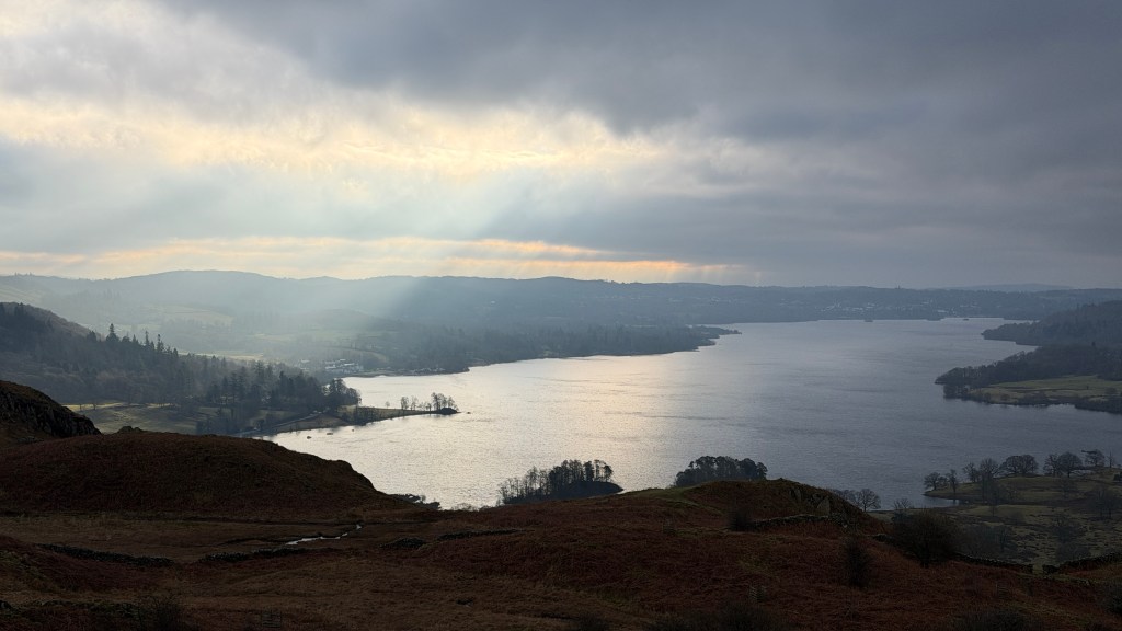
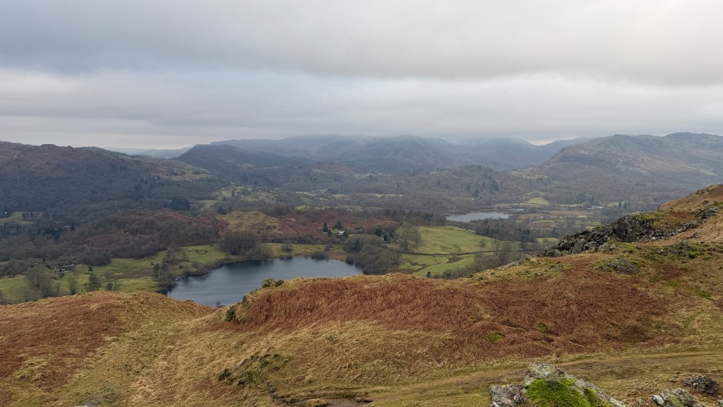
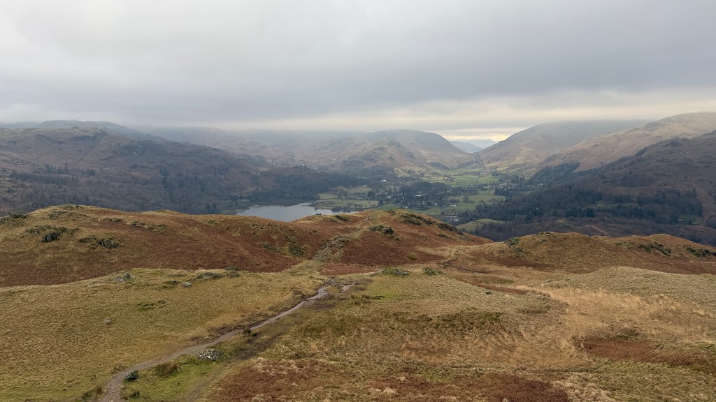
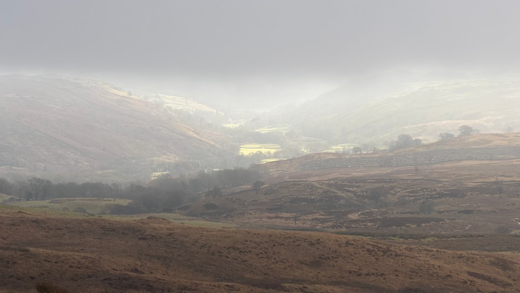
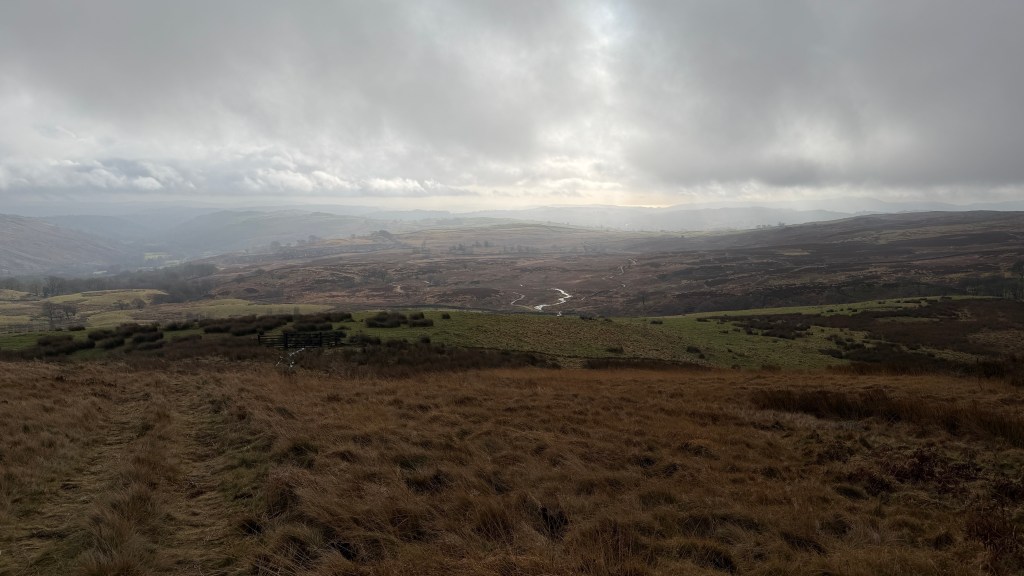
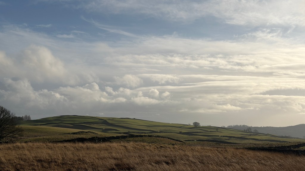
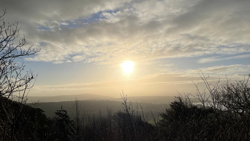
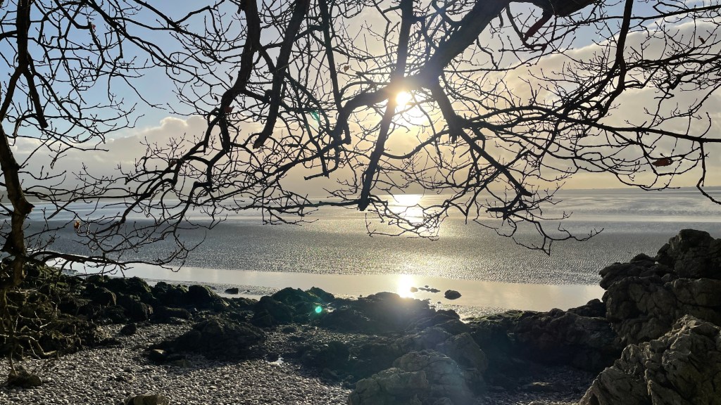
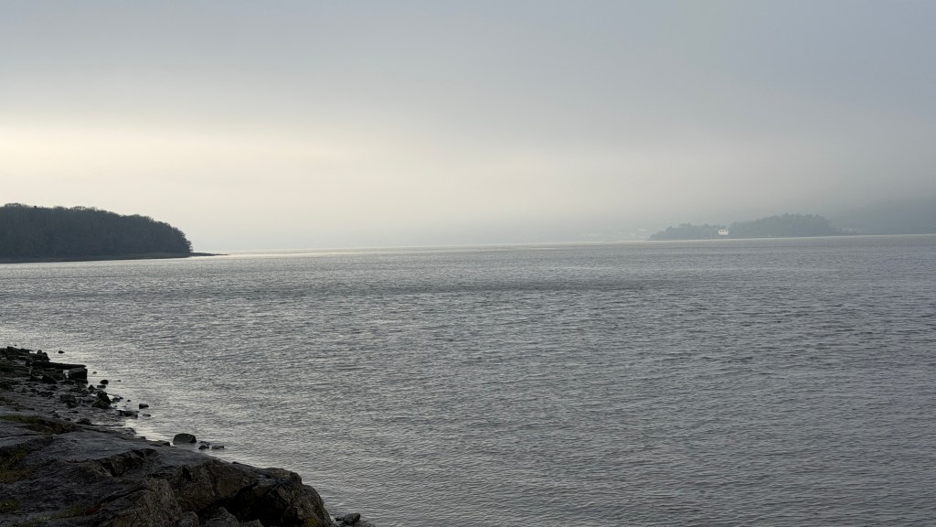
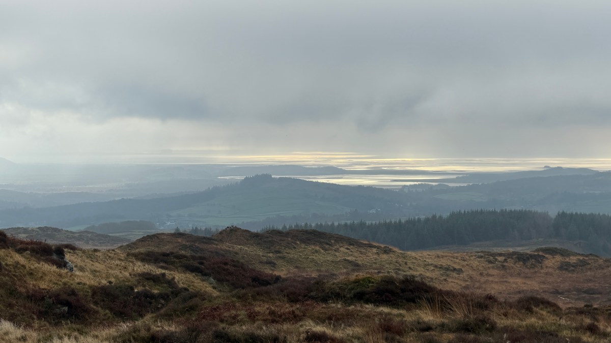
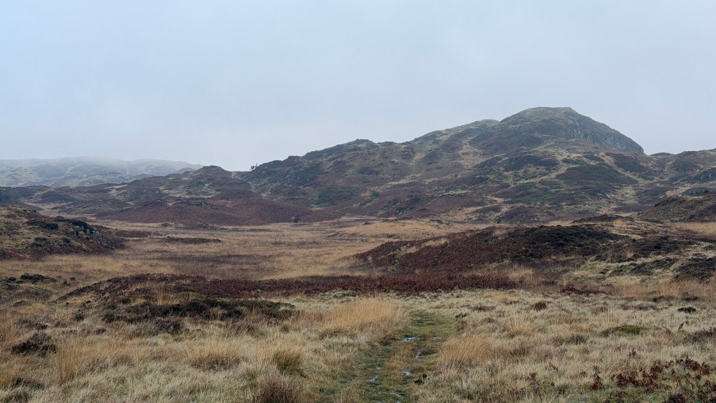
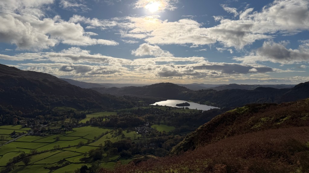
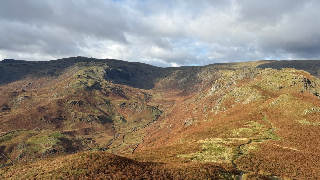
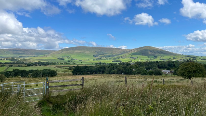
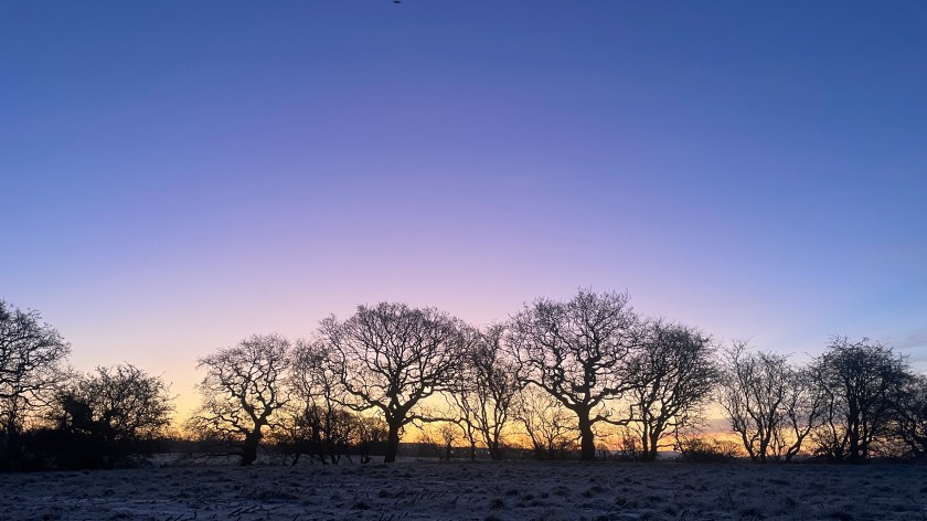
Loughrigg Fell sits as a viewing platform at the junction of several valleys giving it views across much of the southern Lake District. On a good visibility day the walk starts with views of Windermere, Coniston, Coniston Old Man, and the Lancashire Fells to the south. As you ascend the vista opens out to the Langdales, Loughrigg Tarn and Elterwater. Nearer the top the panorama adds in Grasmere and the surrounding hills including Helm Crag and Fairfield. If you are really fortunate you can view some of the northern lakeland fells through Dunmail Raise with the Helvellyn massif standing alongside. The later stages of the walk add in Rydal and Nab Scar.
There are so many hills visible on this route that it can be difficult to distinguish all of them; an App I find particularly useful for this is PeakFinder which allows you to point at a panorama and see the hill names above each peak.
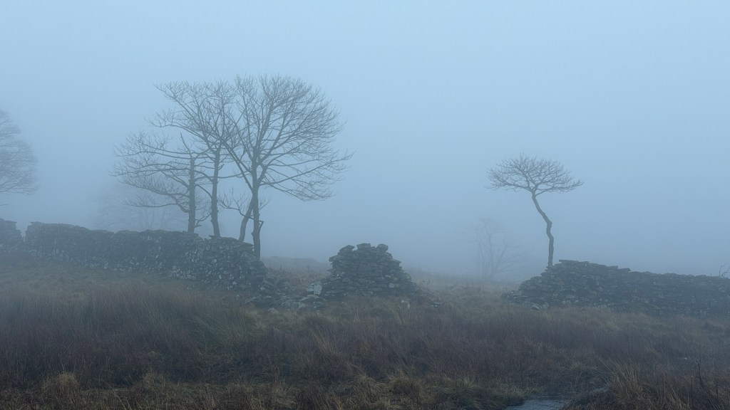
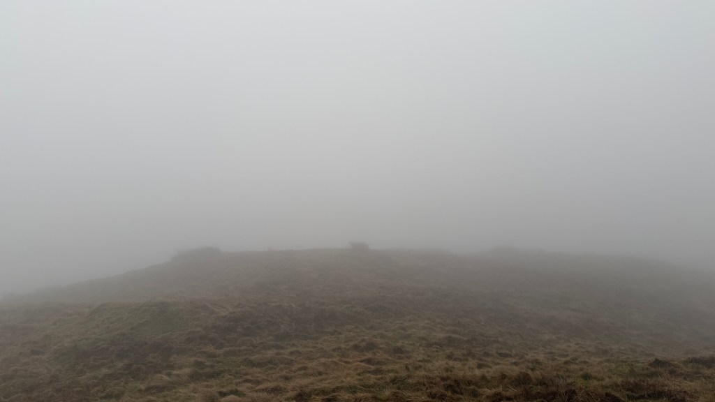
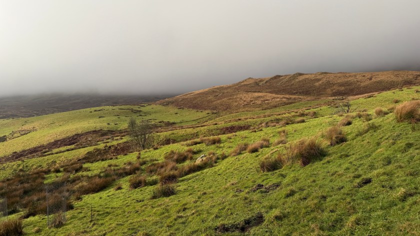
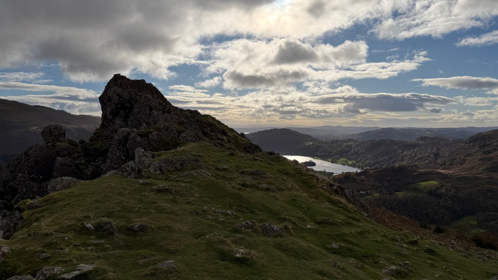
Loughrigg Fell has been heavily quarried over many years making it pitted and potholed especially at the top. This has removed any straightforward ridge to the top, near to the top the available paths can feel a bit like a maze, up and down. Bill Birkett notes: “A proliferation of paths makes route finding rather tricky along the top.”
This walk follows quite closely the route described in Bill Birkett’s Complete Lakeland Fells as LAN 2. Loughrigg Fell is also a Wainwright.
The Walk
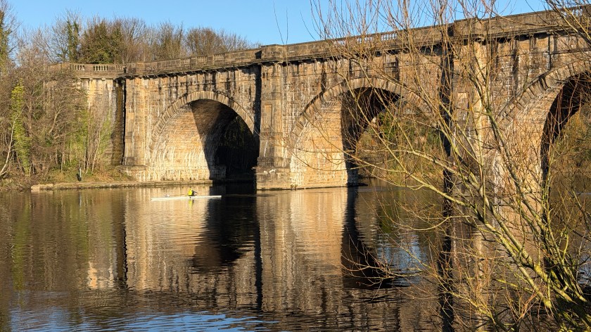
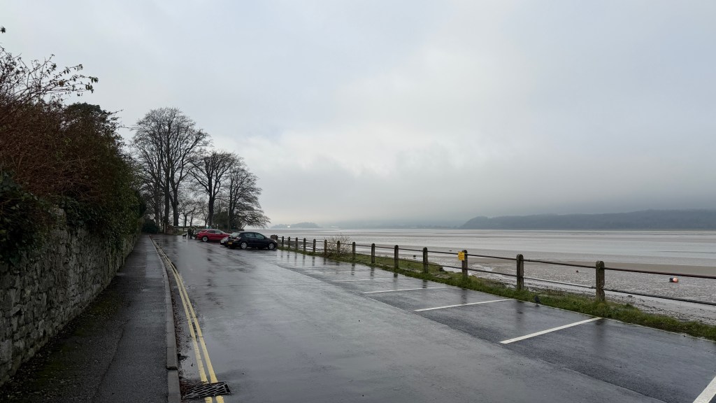
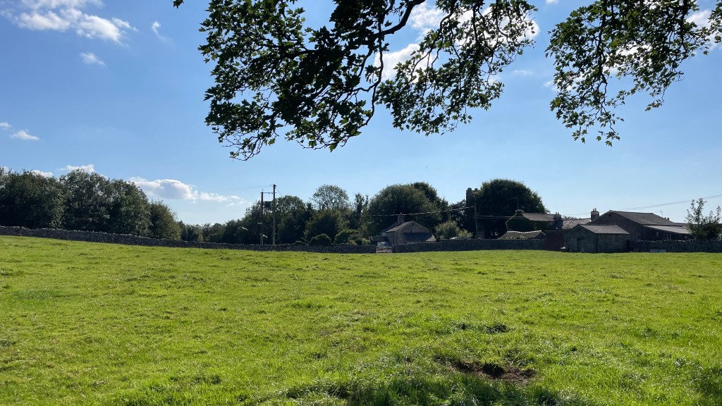
This walk starts from the main carpark in Ambleside, the one on Rydal Road near to Bridge House. There’s a Public Toilet in the car park.
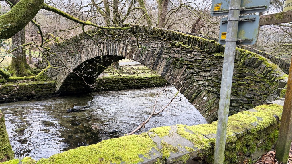
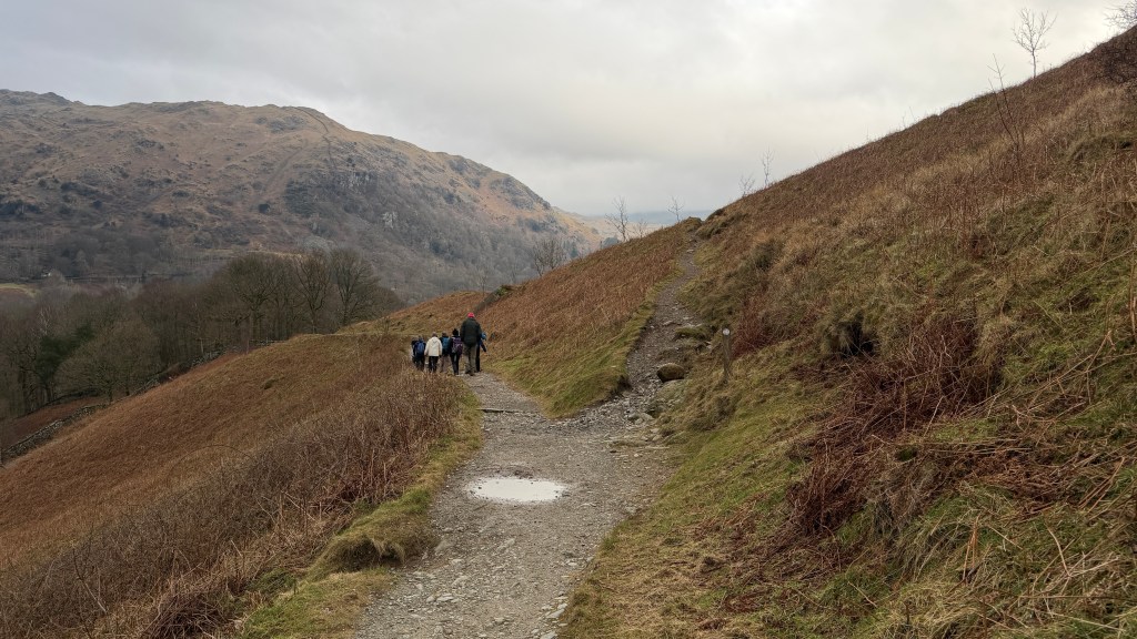
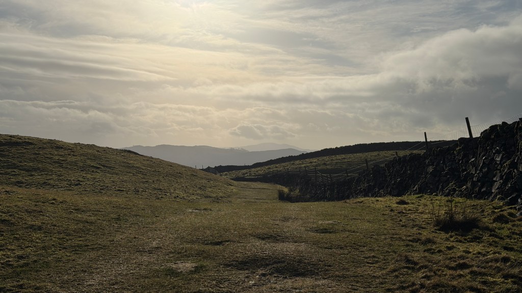
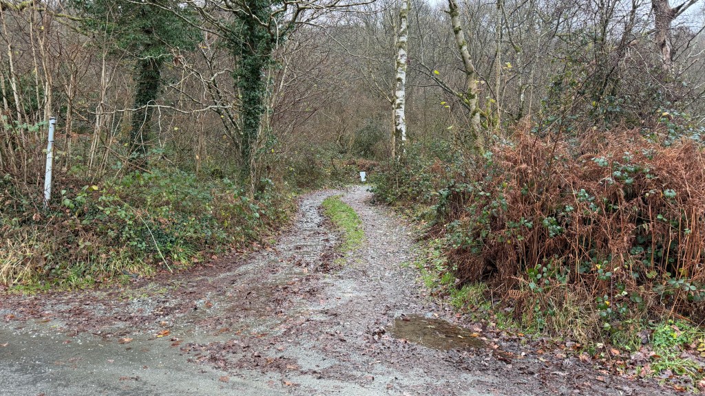
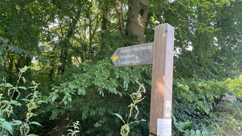
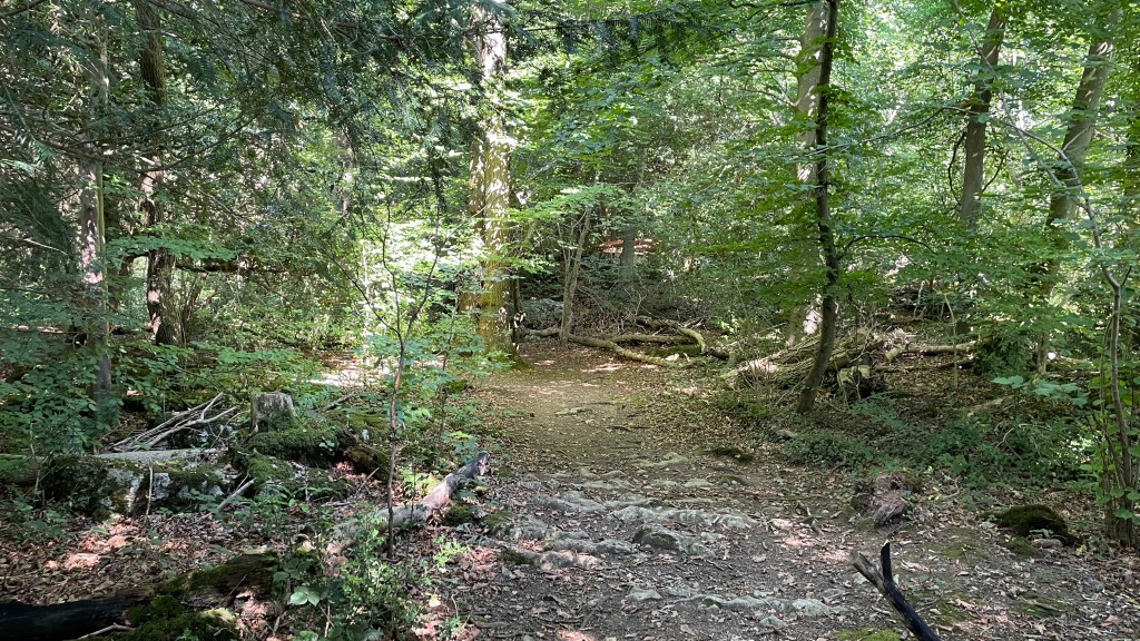
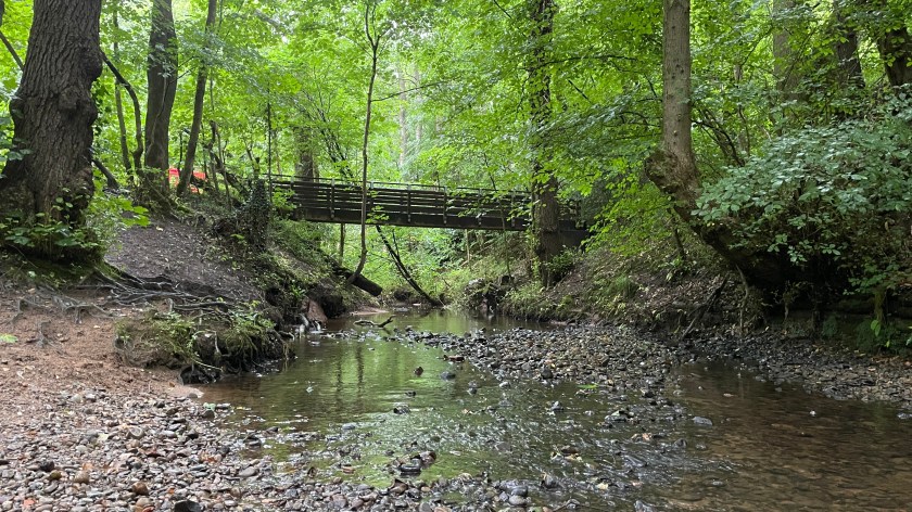
The route starts with a little bit of navigation. Head back to Rydal Road and head to the left out of Ambleside past the Fire Station. Just beyond the Fire Station head left down Storey Lane. At the end of the lane is a paved path that leads alongside Stock Ghyll as it flows towards its confluence with the Rothay. There’s a stone footbridge over the River Rothay onto Under Loughrigg road.
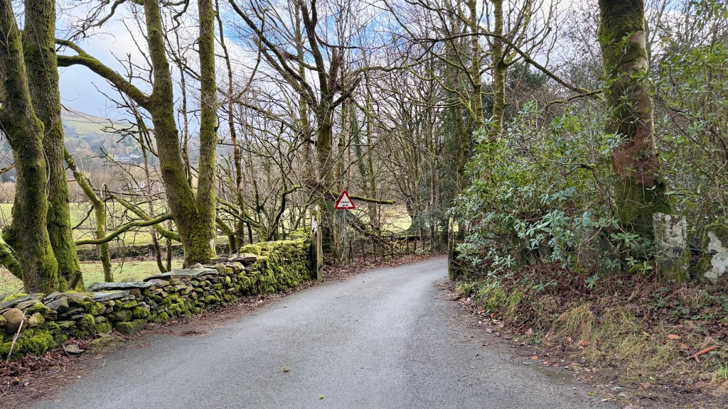
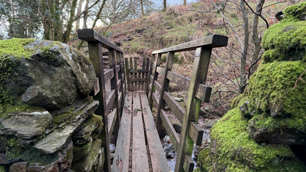
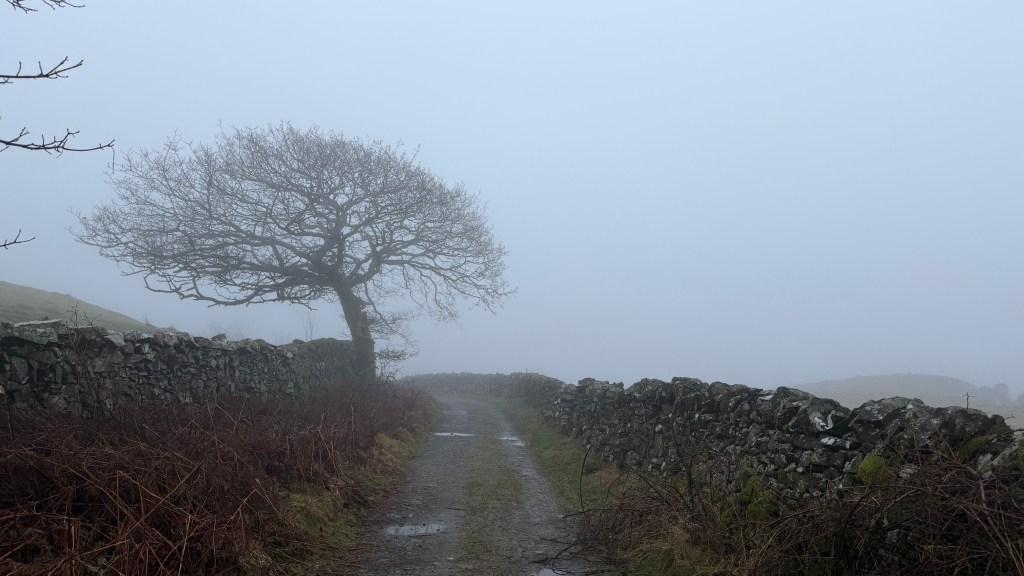
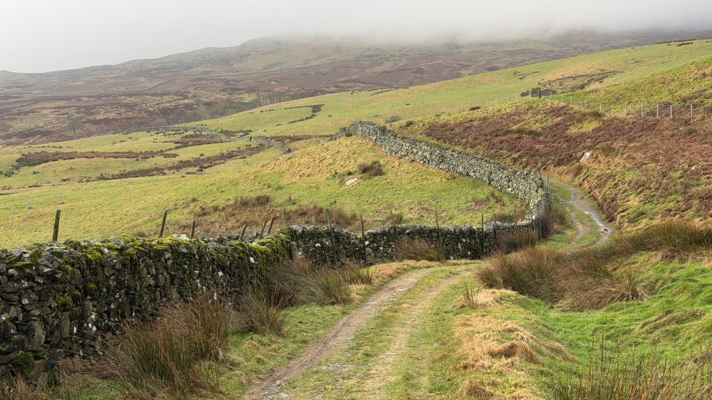
Turn right over the bridge and after a short while left onto a paved lane that heads up the hill. There’s currently a post at the end of the lane indicating it’s a public bridleway. The lane heads pretty much straight up until it turns to the left and then switches back to the right. At the right-hand switch there’s a footpath off the bridleway to the left. There’s a small wooden footbridge at this point. There’s also a gate before you get to the tarn.
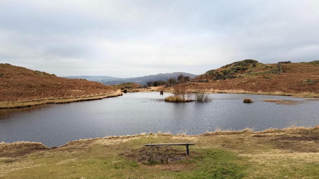
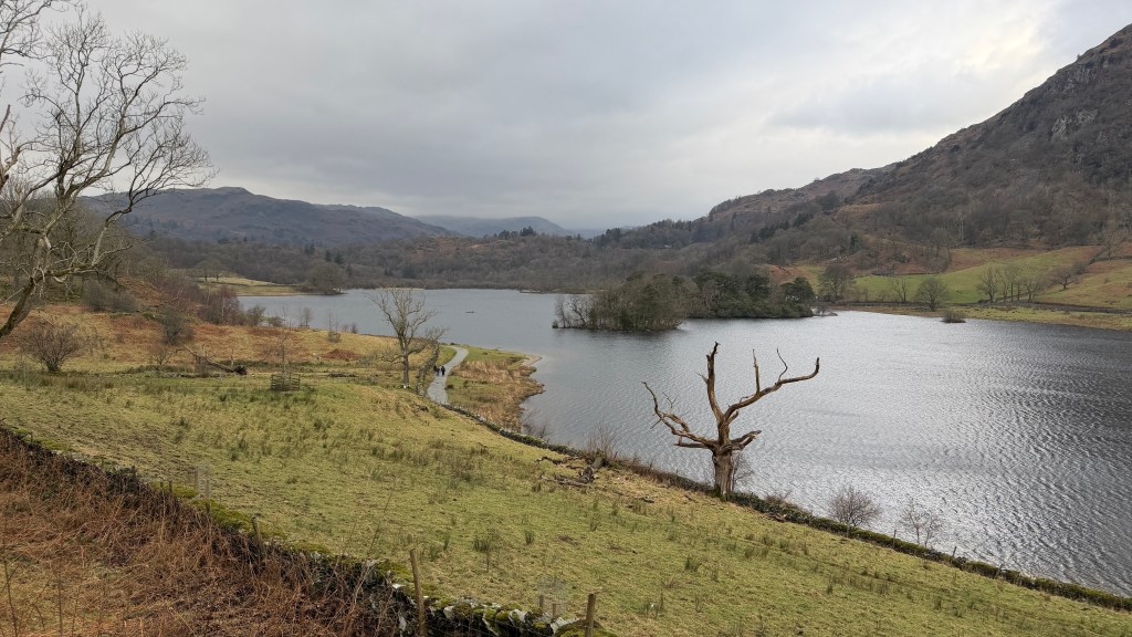
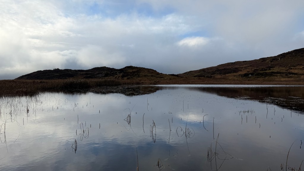
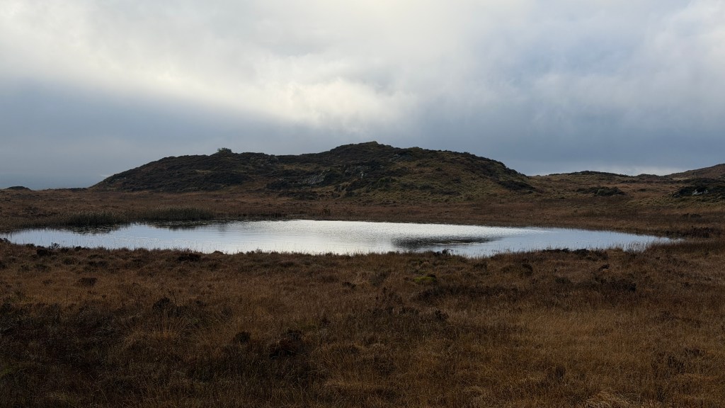
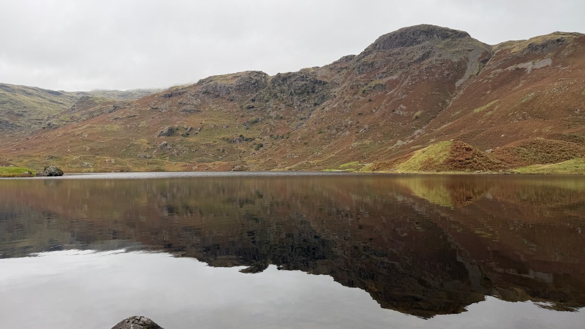
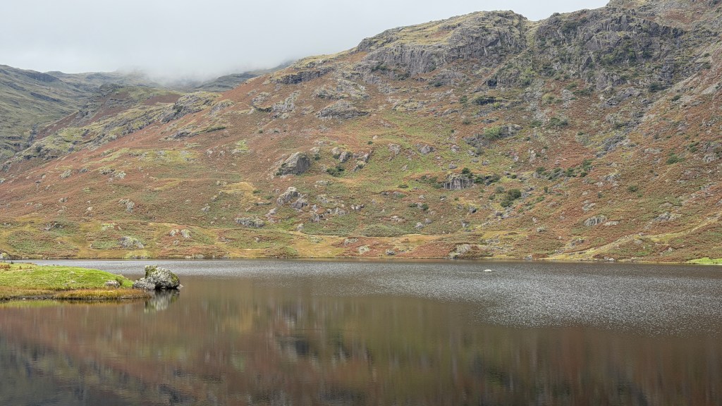
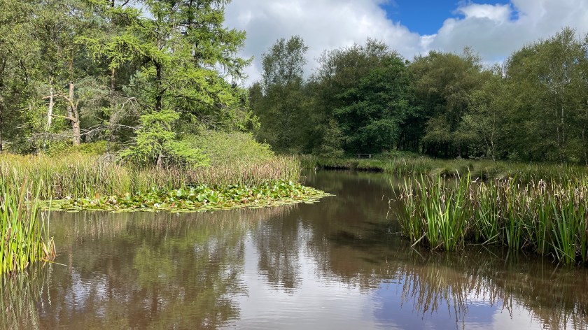
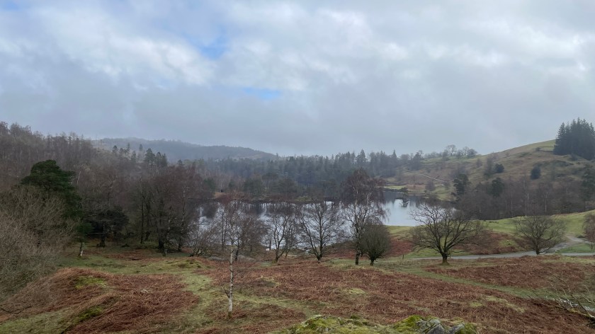
Beyond this point the path winds its way up to Lily Tarn where it’s worth a bit of an explore. There are some glorious views from the various hillocks that surround it. Lily Tarn is apparently good for a swim, but quite shallow.
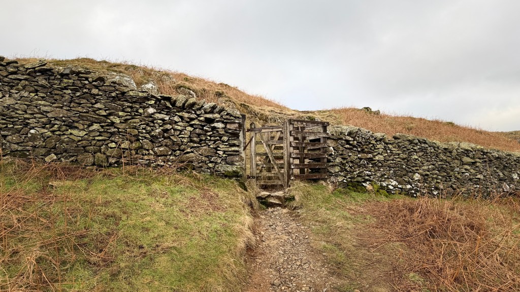
With the tarn on your left follow the path up the hill towards the sheepfold.
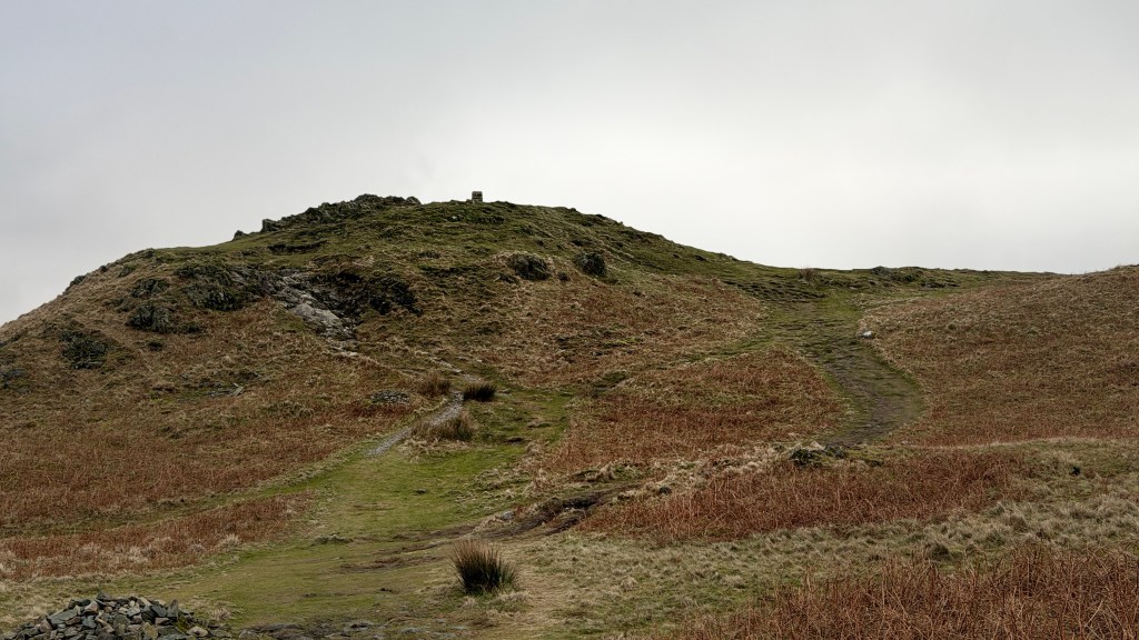
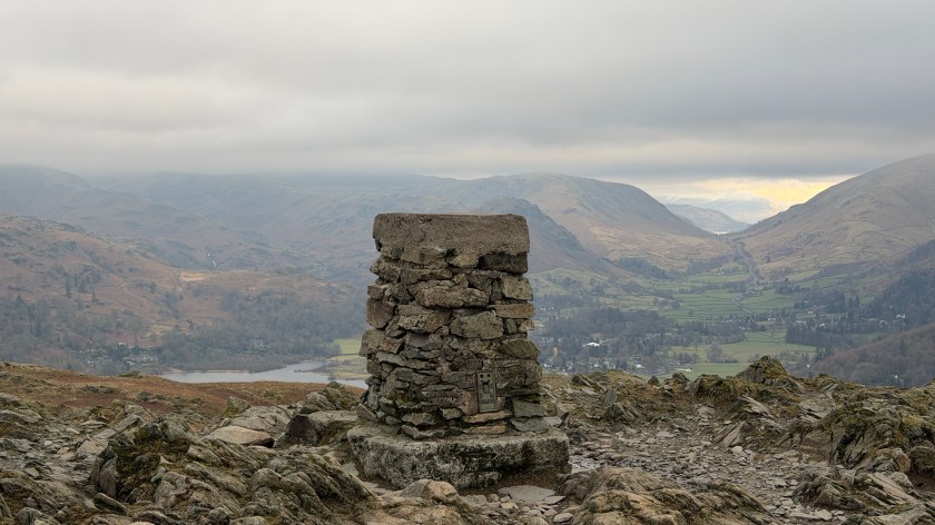
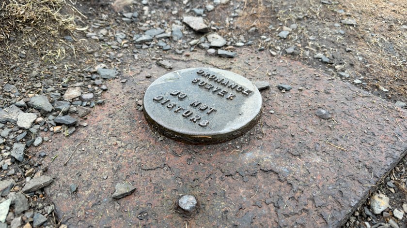
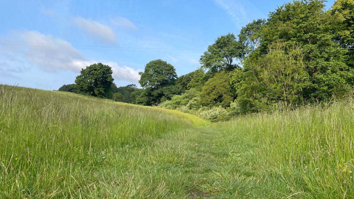
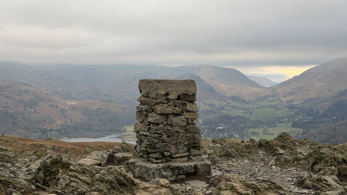
The path is well defined at this point and continues until it intersects the path from Skelwith Bridge. Continue uphill on the other side as the path fringes Loughrigg Fell to the top. The top is defined by a stone built trig-point.
There are several path away from the top, picking the right one can be a challenge. The one you want is directly opposite the one you walked in on. You should be able to see Grasmere, where you are heading, which will help you get your bearings.
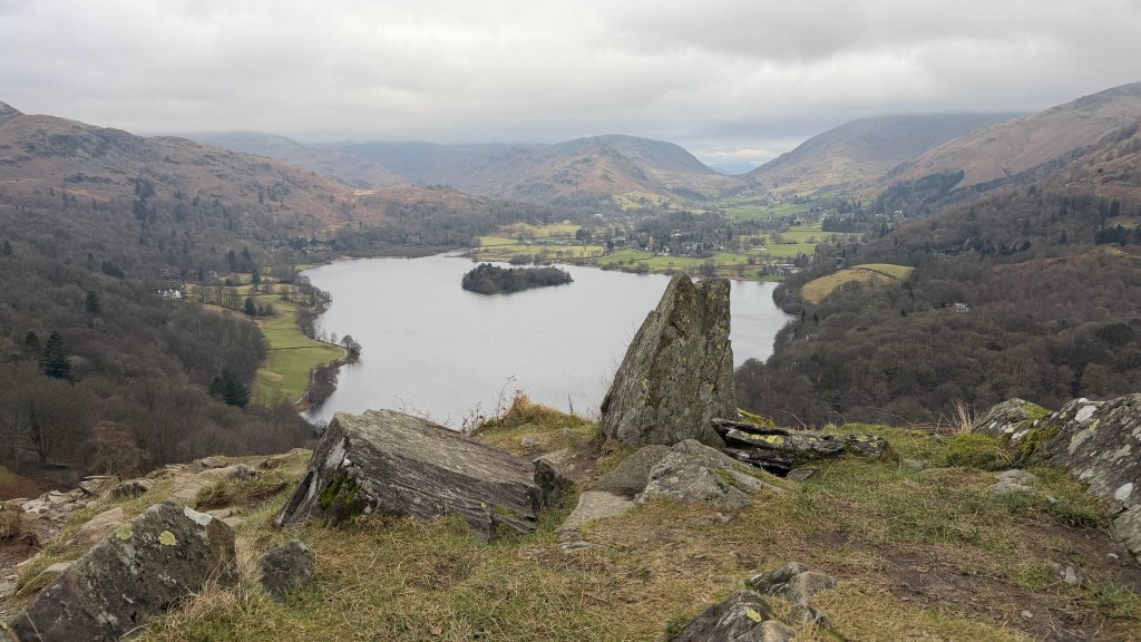
The path down is well used and in the latter stages becomes stepped until it reaches Loughrigg Terrace above Grasmere. Turn right onto the path along the terrace with the mere on your left.
The walk here is the popular walk to Rydal Caves which you will reach by following the contour around. On most days you’ll be able to see the path without any problems as it will be dotted with people.
At Rydal Caves take the path down until it reaches the lane that leads down to Pelter Bridge past the small car park. Before the bridge take Under Loughrigg which is the road to the right. This road will take you alongside the River Rothay all the way back to the footbridge and the path alongside Stocks Ghyll, Rydal Road and into Ambleside.
Alternatives and Extensions
It’s difficult to know where to start on the alternative routes for this one, there are many. I’ll give a few.
On your way back from Grasmere you can choose to take the lakeside route back along Grasmere, via the river Rothay alongside Rydal. That’s straightforward enough.
From the top you can miss out Grasmere and head straight across the top to the caves. It’s probably quicker, but misses out several views.
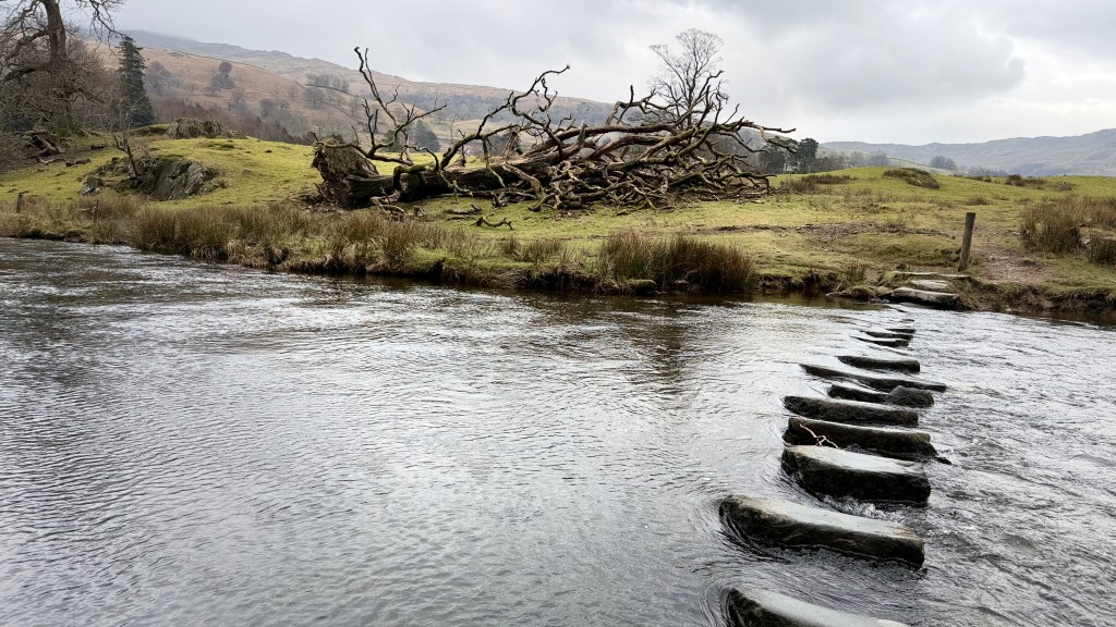
There are a set of stepping stones part way along Under Loughrigh which, given the right conditions, would allow you to cross over to the A591 a little earlier. It’s fun, but not with the payback of walking down the busy A591. There are several places where you can cross to the A591 if the need arises.
You can take a swim in Grasmere or Rydal joining someone most days. There’s also the option of descending to Loughrigg Tarn before reascending to the summit. Loughrigg Tarn is one of the best swimming spots in the lakes, but it’s a lot of down and then back up. Probably better to plan that for another day.
Parking at the main carpark in Ambleside can get busy. There are various options in Ambleside itself probably the best alternative is Miller Bridge Car Park which is only just the other side of Rothay Park. Also, it’s not too much further to walk from Waterhead via the Rothay Bridge and onto Under Loughrigg from the other end. Another alternative is to use the Rydal car parks, but they are often busier than the ones in Ambleside.
Although it might look like it can be done, please don’t expect to be able to drive the length on Under Loughrigg it’s closed part way along.