| Graham’s Walks | 📌 |
|---|---|
| Distance | 5.1 miles |
| Difficulty | Moderate |
| Map | 🗺️ |
| GPX | 📁 |
| Graham’s Cafe | Lucia’s Cafe + Bakehouse Mathilde’s at The Heaton Cooper Studio |
The Area
Areas of the Lake District are famous for different things. The names of the romantic poets, William Wordsworth, Dorothy Wordsworth and Samuel Taylor Coleridge are synonymous with Grasmere and Rydal. Sister and brother, Dorothy and William lived in several houses in the area including Allan Bank and Dove Cottage (both houses open to the public) and were regularly visited by other poets. William is famous for several poems including: I Wandered Lonely as a Cloud, To the skylark, and The sun has long been set. Dorothy is primarily remembered for her journals which give a fascinating insight into their life and are themselves poetic.
Dorothy, William, and his wife Mary are all buried at St Oswold’s church in the centre of the village. This medieval building occupies land that has housed places of worship since the seventh century.
Next to the entrance to St. Oswold’s you will find the much loved home of Grasmere Gingerbread. The gingerbread is a glorious unique confection, it’s not really a bread having a consistency which is a bit like a cross between a cake and a biscuit, it is delicious. There is regularly a queue stretching down the street, don’t let that put you off, the shop is very small inside.
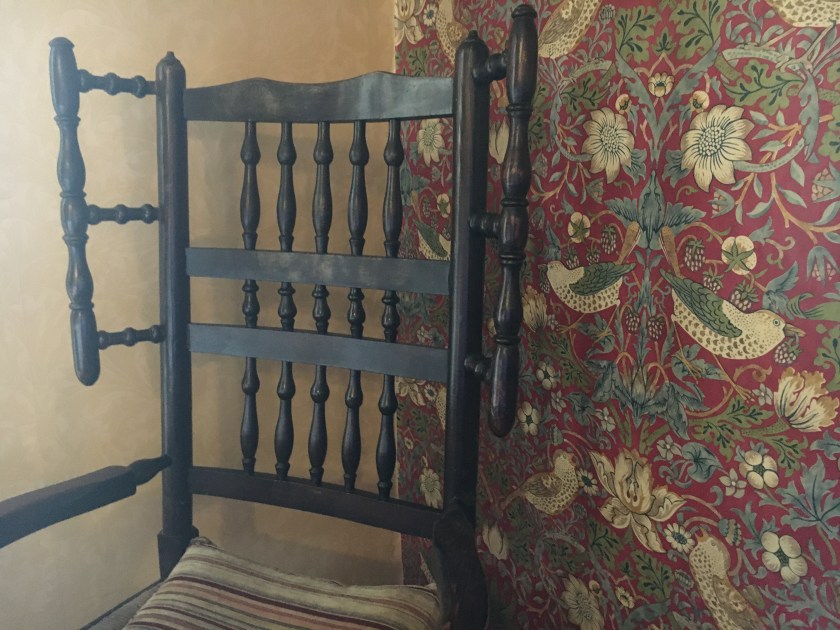
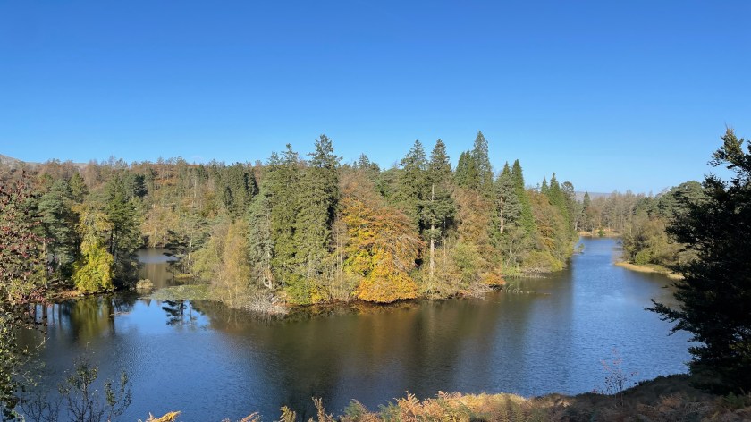
This walk takes you past the Heaton Cooper Studios where you can view, and purchase, artwork from the famous Heaton Cooper family. The gallery was established by William Heaton Cooper to sell his distinctive landscapes, the cafe Mathilde’s is named after his mother. The distinctive Heaton Cooper style and colouring is most evident in the landscape in the autumn.
The name Grasmere probably means what is says “gras” coming from “gras” the Norse word for “grass” and “mere”; a “mere” being a type of lake. There is some speculation that “gras” could also refer to “grys” which is a young pig, but that feels like overcomplicating something with a more obvious answer.
The Walk
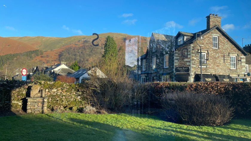
We are starting this walk from the Red Bank Car Park in Grasmere. It’s a smallish car park, but nicely hidden away making it less busy than the main car parks.
There is some uphill to this climb, but there isn’t any climbing, the most complicated part is negotiating the stepping stones around the bog on the way down.
From the car park head down Langdale Road, which is almost opposite the entrance. This will take you past Tweedie and onto Broadgate. Continue past the Heaton Cooper Studio and the left onto Easedale Road.
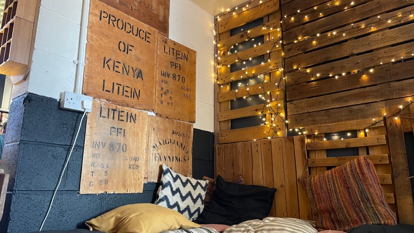
Just before Easedale Road you will see two of Graham’s Cafes; as part of the Heaton Cooper Studio is Mathilde’s Cafe, on the other side of the road is Lucia’s Coffee and Bakehouse. Both are great places to start and finish a walk, Lucia’s is particularly good for a packed lunch, Mathilde’s is more of a cozy wet winter lunch kind of place. I should note here though that the route that we are going to follow doesn’t come back into the village centre, but it’s only a short diversion to find your way back here.
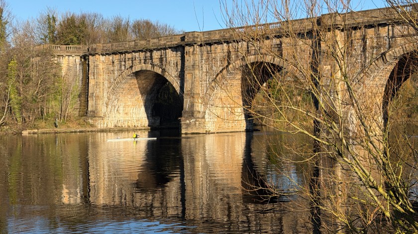
Returning to our walk, follow Easedale Road until you reach Glenthorne Quaker Center and Guest House where you’ll notice a gate on the right which will take you off the road onto a path running parallel to it up to Goody Bridge.
A short way beyond Goody Bridge the road takes a right-hand turn and there’s a path going straight on over a footbridge.
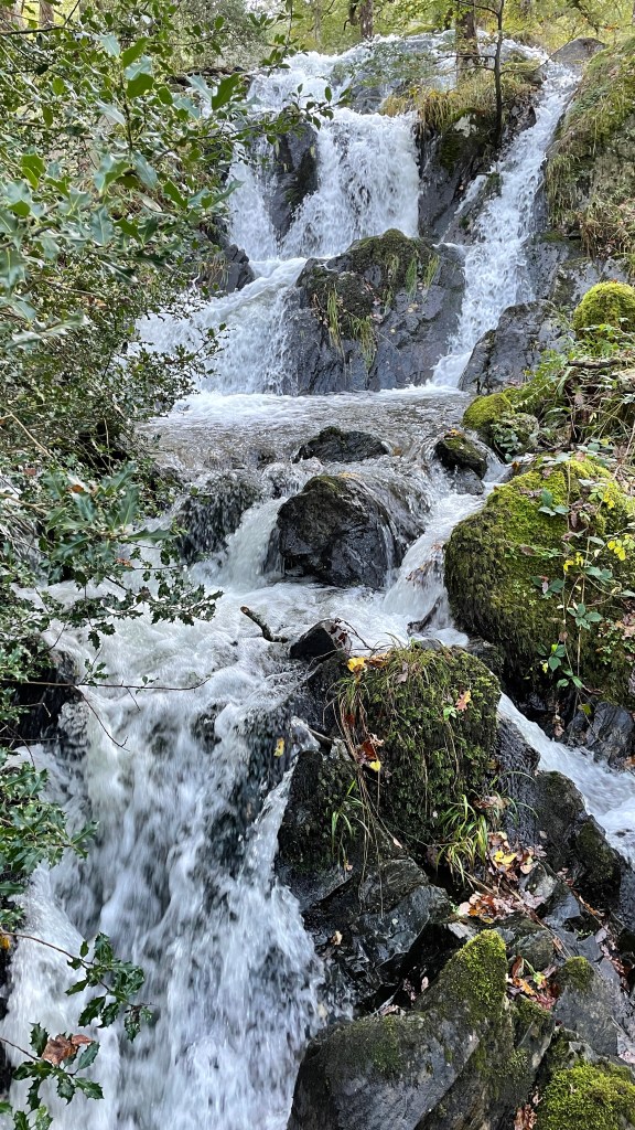
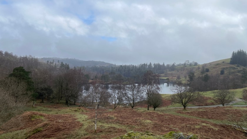
The footbridge will take you onto a cobbled bridleway which will be your guide all the way to the tarn passing the waterfall of Sourmilk Gill as you go. If you are wondering why it is called Sourmilk Gill it’s likely down to the white frothy appearance of the water as it tumbles over the falls. At the main falls there’s a short path off to the right which takes you to the clear pool at the base and for much of the year you can use the large rocks in the beck as stepping stones. The waterfall pool can be a popular place for a dip in the summer, but the real wild swimmers tend to go in at the tarn. If you are planning a swim it’s worth noting that the tarn is at altitude and quite sheltered making it significantly colder than many other swimming spots nearby.
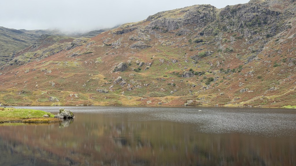
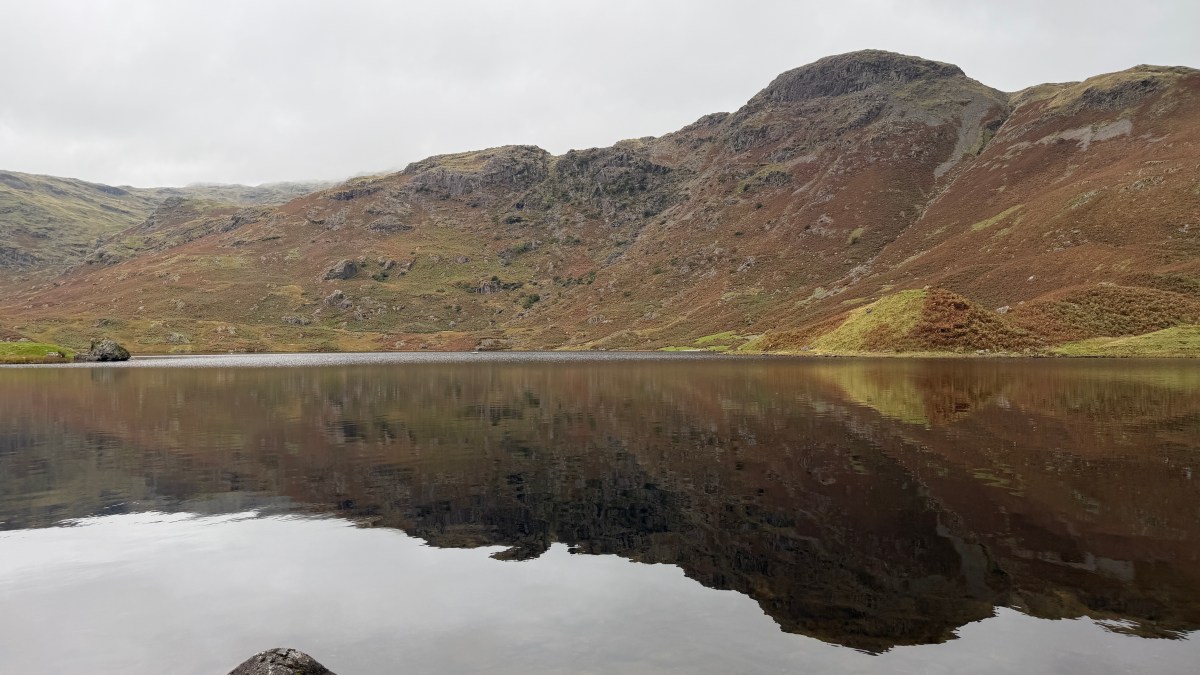
Continue up beyond the waterfalls to the tarn which has been a popular tourist destination for a very long time. As early as the 1870’s there was a hut alongside the tarn at about the point where you get the first views of the tarn from the path which served “a humble style of refreshments”. The hut continued its service into the 1930’s, but later fell into disrepair. Wainwright sketched its presence and noted “with every passing year the hut loses a few more stones and slates (and gains more autographs)”; its location is barely noticeable as you travel along our route today.
This is a walk of two halves, on the way up you are likely to be alongside quite a few other walker as they too travel this popular path, there will also be plenty of people using the same route to retrace their steps back to Grasmere. We will venture off this main path for our route down and it will feel like a completely different walk with very few fellow travellers and glorious secluded valley views.
We are only going as far as the tarn for this walk, you can use this same route to venture into the surrounding mountains, but I’ll cover those in other walks.
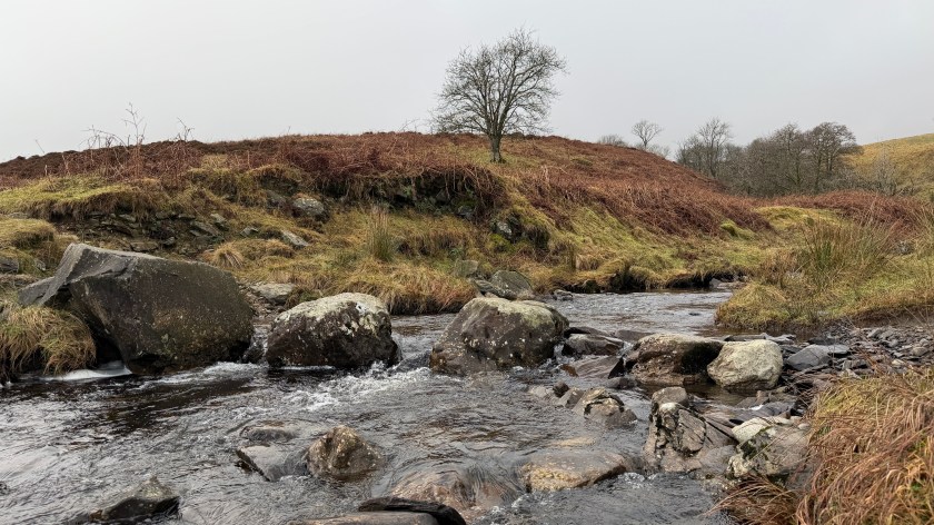
Our route down starts where the beck flows out of the tarn. There are several large stones allowing you to cross the stream onto a path running alongside the other bank. This path follows the stream for a little while and then skirts around a more boggy area. There’s no need to walk in the bog though as the path comprises a set of large flat-topped boulders. The boulders are quite well spaced, but you do have to watch your step.
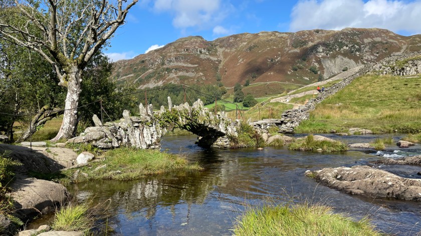
The only slightly complicated navigation of this walk is just beyond the stepping stones section. It will feel like the natural way down should be to track to the right down the valley along the wall facing you. Thankfully someone has helpfully put a large “GRASMERE” with an arrow underneath it showing the correct direction, which is to the left away from Grasmere for a short while. As you head down you will come to footbridge across the beck, alongside Stythwaite Steps (“thwaite” is another Lake District word of Norse origin meaning clearing.)
The path from here meanders alongside the beck all the way back to Easedale Road. You’ll recognise where you are once to get to the footbridge where you left for Sourmilk Gill.
Rejoin the path alongside Easedale Road just beyond Goody Bridge, but instead of rejoining the road a little further along, continue on this path around the back of Glenthorne and into the grounds of Allan Bank. Follow the lane from Allan Bank until it meets the junction of Broadgate and Langdale Road. Head down Langdale Road to the car park.
Alternatives and Variations
Most of the alternatives and variations to this walk lead on to other walks. The first part of this walk is the same as a popular route up Helm Crag which I’ll cover as part of another guide, likewise for Tarn Crag. If you carry on beyond the tarn you are soon on your way up High Raise.
You can do a circular route around the back of the tarn as a bit of an extension, I’ve only done it once, it was wet and boggy but did give some wonderful views.
Any car park in Grasmere could be the start of this walk, you’ll just have to find your way to Easedale Road, and then back again.