On a recent bank holiday we set off early to walk one of the more popular routes in the Lake District around Rydal Water starting from Pelter Bridge. We arrived to take the last space.
Once parked I went off to pay at the machine where I was met by a man who asked if I knew the area. Being a helpful sole I said that I did, expecting to be asked something simple like “how do we get to the lake?” He wasn’t dressed like a seasoned walker, his children were in trainers.
He waved over a short, steely-eyed, in-charge lady who I assumed was the man’s mother. She fixed me with a stare and addressed me as if I was one of her children. Her diminutive unflinching presence was such that I regressed to my childhood and responded accordingly. On this occasion the resolute request was to help them find the route to the top of log-her-igg. It took me a little while to realise that what was being requested was the route to the top of Loughrigg Fell (it’s pronounced with a “uf” like rough.)
While Loughrigg Fell isn’t overly challenging as a hill there are numerous options for ascending from Pelter Bridge, however the main, tourist, path is at the other end of Rydal Water going up from Loughrigg Terrace.
I don’t mind being helpful but I’ve become a bit reticent about giving people who look unprepared too much information. I don’t want to be the one who gives them enough information to get themselves into deep trouble.
The Loughrigg Terrace path requires no navigational skills but was a couple of miles away and I wasn’t convinced that the younger children in the family group would enjoy such an adventure. They’d already struggled to get parked and I wasn’t going to propose to the small, steely-eyed, in-charge lady that they tried their luck at the car parks at the other end of the lake.
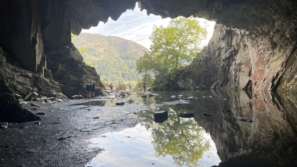
The lady, who I assume was grandma of this three generation family, was most insistent that people wanted to go to the top and then on to the caves. I suspect that they didn’t have too much choice, she was the one making the plans and the family would know not to meddle. I explained that the way to the top was via the cave, that you went there first, but that they needed a map. Grandma gave me several disapproving looks and I knew she was expecting more from me. One of the other adults talked about wanting to go for a swim which she ignored. I showed them on the map on my phone the route that we would be taking and the main route to the top, we also chatted about good places to swim, but the conversation still made me nervous.
There’s very limited signal at Pelter Bridge and the nearest thing they had to a navigational aid was Google Maps on various phones. If you’ve tried to use Google Maps for walking in the Lake District you’ll know that it’s really not something you should be relying on.
As I left them I hoped that they’d stick to the low level route, take the walk to the caves and then enjoy a swim. There wasn’t much risk in any of that, but I did wonder what might have happened if they had tried to venture to the top. Would grandma get her way? Would they get lost in the numerous path and come down somewhere near Elterwater? Or perhaps, unexpectedly in Ambleside?
The family started their walk and shortly after we followed along behind them. At the first fork in the path they stopped, looked at their phones and at each other. By this point we had caught up with them so I showed them the path to the caves which I hope they took, we continued on our way while they made their decision..
Would it have been better if I could have shared a navigational aid with them? Something more useful than Google Maps? It’s not realistic to expect people to download one of the paid options for a one-off activity, an outlay that they may never use again. I’m not sure I would advise the use of OS Maps even if they were willing to spend the money and my preferred app Outdoors GPS requires a reasonable level of map reading skills.
Later on in the walk I remembered a post that a former colleague had written about successfully using CoMaps in the Lake District on a recent trip, with the added advantage that it’s free. I decided to give it a go for the rest of our walk.
The mobile signal in the Lakes is patchy, not nonexistent. Not much further along I had enough signal to download the app, it automatically prompted me for permission to download the offline content for the area and we were off. The only adjustment I needed to make was to change from the dark to light theme on a very bright day. The mapping was excellent, the offline experience good and the data from OpenStreetMap was accurate for my very limited sample. Most people have enough mobile data allowance to download an app and a few MB of maps.
CoMaps would have given me an option for how to advise grandma and the car park family. I’m definitely not going to use it on every occasion, I’m not even sure I would have told the family, but I can definitely see times when it’s a better answer than sending them on their way blind.
All I need to do now is to work out the best way of combining CoMaps with my Walking Guides. I think the first step is going to be to upload some of the GPX files as Tracks in CoMaps; I can then share app, and tracks.
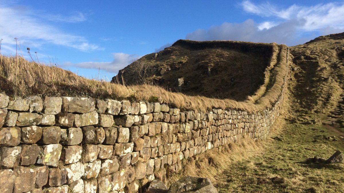
Header Image: It wouldn’t be the same without a visit to Rydal caves.