The map below shows a few of the relatively local walks that you might like to use as a basis for your own exploring.
The points should each have a link to a route. Some of them may have a link to a guide.
Preston and a little further afield
In this map:
| Distance | Difficulty | OS Maps Route | GPX File | |
|---|---|---|---|---|
| Beacon Fell Circular | 3.2 miles | Moderate | 🗺️ | 📁 |
| Bolton Abbey Circular including The Strid | 6.1 miles | Moderate | 🗺️ | 📁 |
| Brockholes Circular from Preston Crematorium | 4 miles | Moderate | 🗺️ | 📁 |
| Clock House Farm, Cow Hill, Fulwood Park Wood and Ladywell Circular | 3.6 miles | Moderate | 🗺️ | 📁 |
| Levens Deer Park Circular from Levens Hall, Carnforth | 3.2 miles | Moderate | 🗺️ | 📁 |
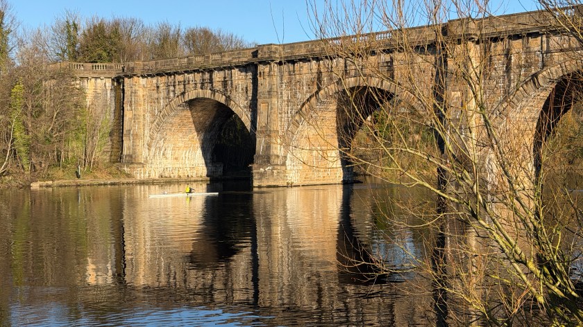
| River Lune and Lancaster Canal Circular from the Lune Aqueduct | 5.3 miles | Easy | 🗺️ | 📁 |
| Rossall Beach Promenade | 5.2 miles | Easy | 🗺️ | 📁 |
| Silverdale Circular via Scout Wood and the Cove | 2.6 miles | Moderate | 🗺️ | 🗺️ |
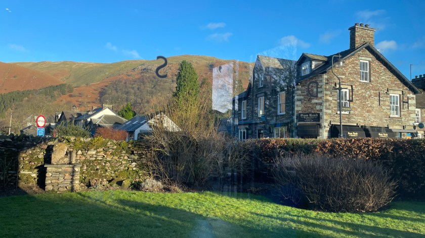
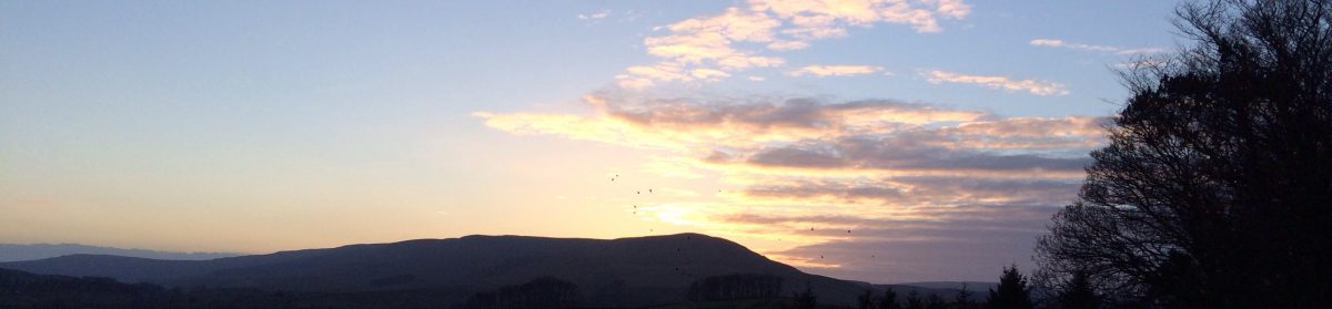
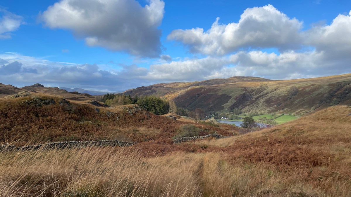
Lake District
I love walking in the Lake District and these are a few that are special to me.
They should each have a link to the OS Maps Route, and some may also have a guide.
In this map:
| Distance | Difficulty | OS Maps Route | GPX File | |
|---|---|---|---|---|
| Cathedral Caves Circular from Little Langdale (the short route) | 1.5 miles | Moderate | 🗺️ | 📁 |
| Easedale Tarn Circular from Grasmere | 5.1 miles | Moderate | 🗺️ | 📁 |
| Helm Crag, Gibson Knott, Calf Crag Circular from Grasmere | 8.2 miles | Moderate | 🗺️ | 📁 |
| Loughrigg Fell Circular from Ambleside | 6.3 miles | Moderate | 🗺️ | 📁 |
| Loughrigg Tarn Circular from Skelwith Bridge | 2.5 miles | Moderate | 🗺️ | 📁 |
| Rydal and Loughrigg Terrace Circular | 4.3 miles | Moderate | 🗺️ | 📁 |
| Sallows and Sour Howes above Kentmere Park | 7.3 miles | Difficult | 🗺️ | 📁 |
| Tarn Hows Circular via Tom Gill from Gill Mary Bridge | 2.6 miles | Moderate | 🗺️ | 📁 |
| Top o’ Selside from High Nibthwaite | 4.8 miles | Difficult | 🗺️ | 📁 |